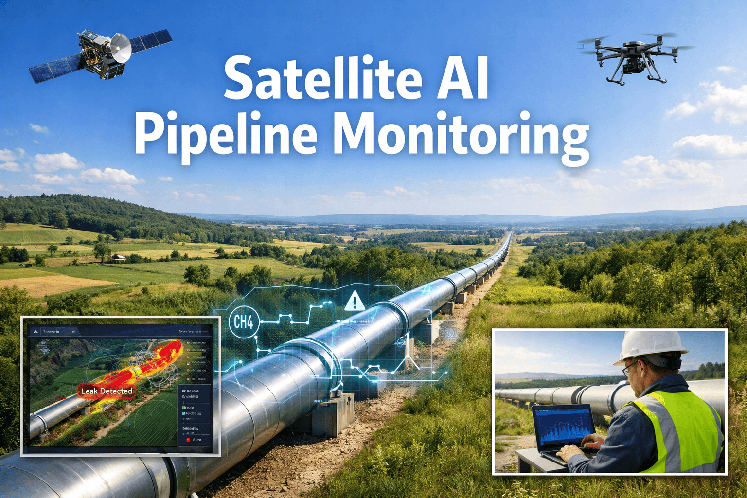
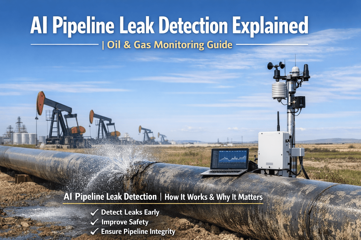
Oil and gas operators lose an average of 14-28% of pipeline integrity visibility annually to undetected surface changes, right-of-way encroachments, and ground movement that no quarterly aerial patrol or monthly walking survey catches in time. By the time pipeline threats are confirmed through on-ground investigation or catastrophic failure, the damage is done: third-party strike incidents, soil erosion exposing pipelines, construction within restricted corridors, and leak releases triggering $42M regulatory penalties plus pipeline replacement costs exceeding $12M per mile. iFactory's AI-powered satellite pipeline monitoring platform changes this entirely — detecting surface anomalies, vegetation stress patterns, and ground displacement in real time across thousands of pipeline miles, classifying threat severity before pipeline contact occurs, and integrating directly into your existing SCADA, GIS, and integrity management systems without helicopter mobilization. Book a Demo to see how iFactory deploys satellite AI monitoring across your cross-country pipeline network within 8 weeks.
92%
Pipeline threat detection before ground contact or excavation damage occurs
$12.4M
Average annual third-party damage and leak response cost avoided per network
84%
Reduction in unplanned ground investigations vs. scheduled patrol surveys
8 wks
Full deployment timeline from route audit to live satellite monitoring go-live
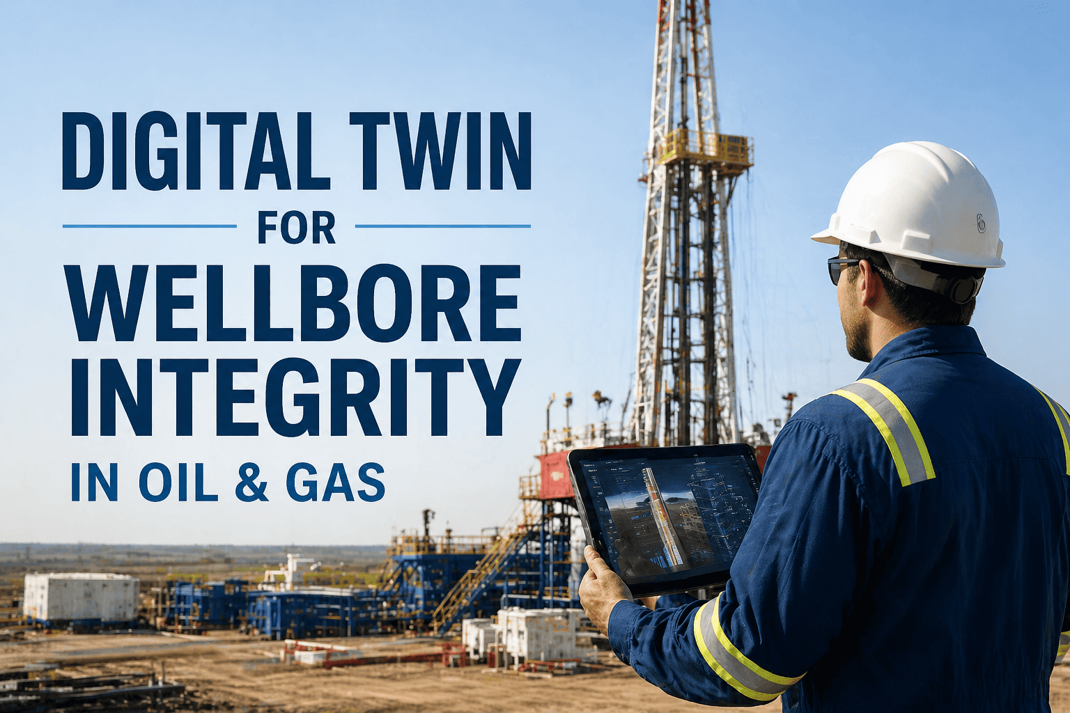
The Complete AI Platform for Oil & Gas Operations
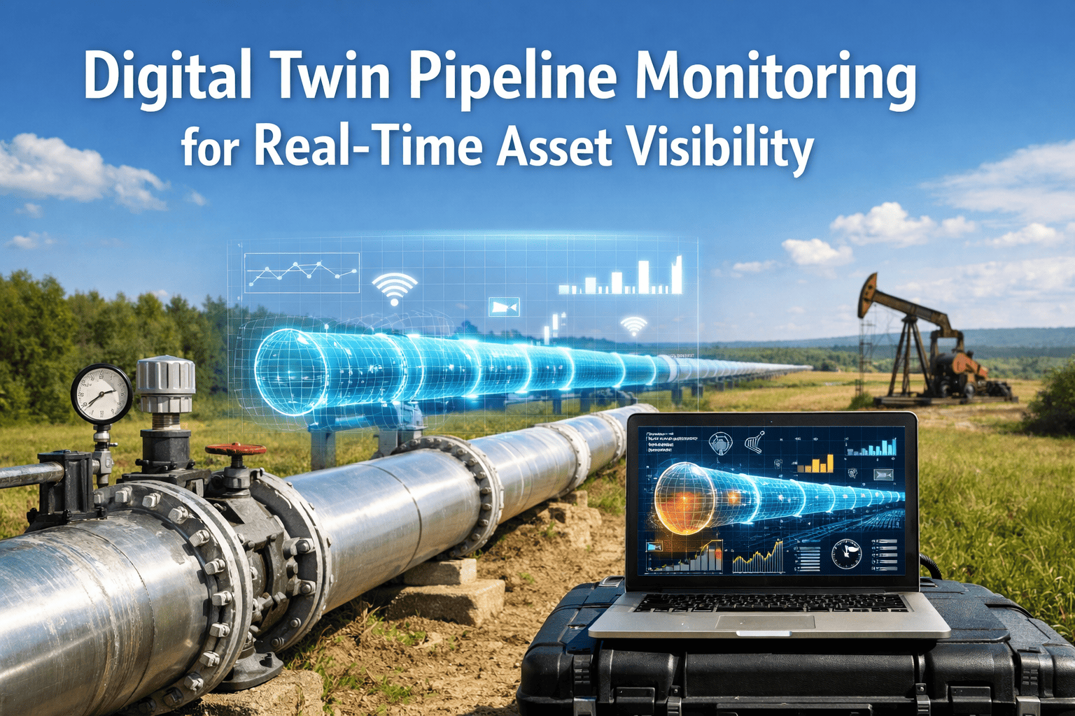
iFactory's AI engine monitors satellite imagery, vegetation health indices, ground displacement, thermal signatures, and methane plume detection across your entire pipeline network — 24/7, without patrol crew mobilization or right-of-way blind spots. AI-Driven Integrity for Every Mile of Pipeline.
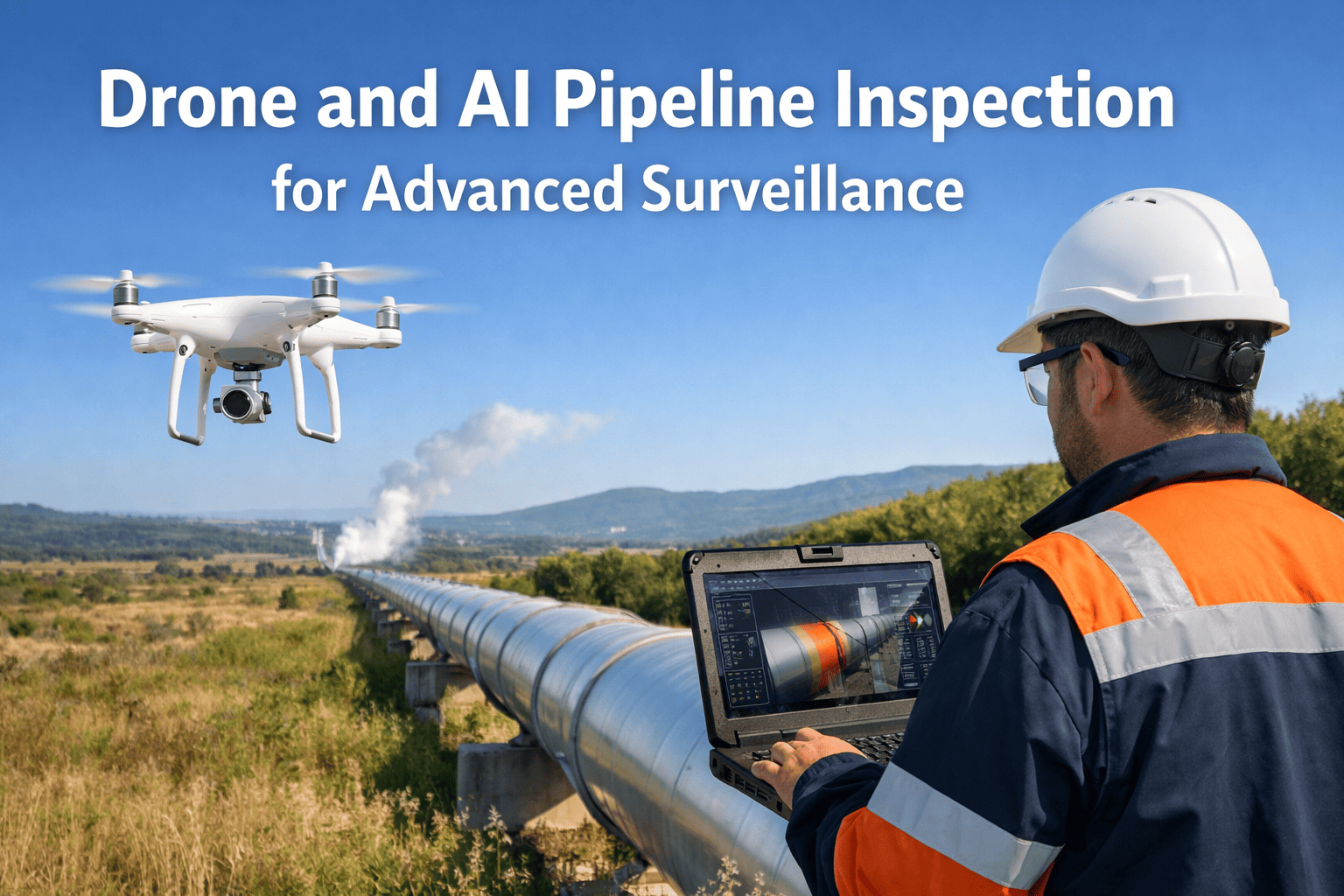
How iFactory AI Solves Cross-Country Pipeline Monitoring
Traditional pipeline monitoring relies on quarterly helicopter flights, monthly walking patrols, and reactive incident response — all responding after encroachment or ground movement has progressed. iFactory replaces this with continuous satellite surveillance combined with AI models trained on pipeline corridor threat patterns that detect precursors to mechanical damage, not the incidents themselves. See a live demo of iFactory detecting simulated construction encroachment and ground subsidence events.
01
Multi-Spectral Satellite Fusion
iFactory ingests data from optical, infrared, SAR radar, and hyperspectral satellite sources simultaneously — fusing multi-source imagery into pipeline corridor health scores per mile, updated every 3-7 days depending on satellite revisit rates.
02
AI Threat Classification
Proprietary ML models classify each anomaly as third-party construction, vegetation encroachment, ground subsidence, soil erosion, unauthorized access, or methane plume — with confidence scores. Operators receive graded alerts, not raw image floods. False positive rate under 6%.
03
Predictive Ground Movement Tracking
iFactory's InSAR-based subsidence engine identifies pipeline sections trending toward critical ground displacement 15-45 days before integrity threat — giving teams time to investigate on schedule, not emergency response after exposure.
04
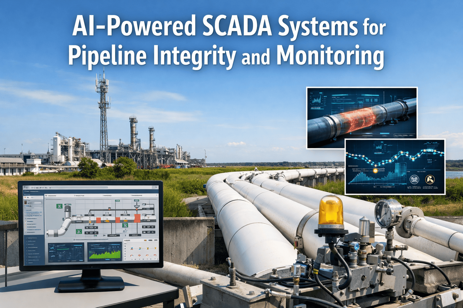
SCADA, GIS & Integrity Integration
iFactory connects to ESRI ArcGIS, Honeywell, Emerson SCADA, and integrity platforms via REST APIs and OGC standards. Satellite alerts auto-populate GIS with threat locations, integrate with leak detection, trigger work orders in SAP PM or IBM Maximo. Integration under 2 weeks.
05
Automated Corridor Integrity Reporting
Every satellite detection — identified, classified, field-verified — generates structured corridor integrity reports with timeline, imagery evidence, and investigation priority. Audit-ready for PHMSA integrity management, API 1160, and regional pipeline safety regulations.
06
Investigation Decision Support
iFactory presents ranked field investigation recommendations per alert — immediate site visit, scheduled patrol verification, or monitor-only status — with risk scores and estimated pipeline integrity impact per day of delay. Teams act on satellite evidence, not fixed patrol calendars.
How iFactory Is Different from Other Satellite Pipeline Monitoring Vendors
Most satellite monitoring vendors deliver generic change detection algorithms trained on agricultural datasets and wrapped in a web viewer. iFactory is built differently — from the imagery processing layer up, specifically for oil and gas pipeline environments where corridor width, threat types, and regulatory response requirements determine what surface changes actually matter. Talk to our pipeline AI specialists and compare your current aerial patrol approach directly.
| Capability |
Generic Satellite Vendors |
iFactory Platform |
| Model Training |
Generic land-use change datasets. No pipeline-specific threat training. High false positive rate from agricultural activity, seasonal vegetation. |
Models pre-trained on 7 pipeline corridor threat modes (construction encroachment, ground subsidence, vegetation stress, erosion, unauthorized access, equipment installation, methane detection). Pipeline-specific fine-tuning in weeks. |
| Imagery Coverage |
Single-source optical satellite monitoring. Weather-dependent gaps. No ground displacement or methane detection capability. |
Fuses optical, SAR radar, InSAR subsidence, thermal infrared, and hyperspectral methane imagery into unified corridor health scores per mile. All-weather monitoring via SAR. |
| Alert Quality |
Binary change detection alarms. High false positive volumes from seasonal changes, farming activity that operators ignore. |
Graded alert tiers with confidence scores and threat classification. False positive rate under 6%. Seasonal vegetation filtering eliminates patrol fatigue from irrelevant alerts. |
| System Integration |
Standalone web portal only. Manual data export to GIS. No SCADA or integrity management integration. Investigation workflows managed in spreadsheets. |
Native REST API and OGC connectors for ESRI ArcGIS, Honeywell/Emerson SCADA, SAP PM, IBM Maximo, and PHMSA platforms. Automated work order generation. Integration complete under 2 weeks. |
| Compliance Output |
Raw imagery exports only. No structured corridor documentation for PHMSA integrity management or API 1160 compliance. |
Auto-generated integrity reports formatted for PHMSA 49 CFR 192/195, API 1160, CSA Z662, and regional pipeline safety regulations. Report templates pre-configured, generated automatically at threat closure. |
| Deployment Timeline |
6-12 months to pipeline-wide coverage. High imagery licensing costs. No fixed go-live date. Requires GIS team training and custom workflow development. |
8-week fixed deployment program. Pilot results on 100-mile segment in week 4. Full network monitoring by week 8. Pre-configured GIS integration and alert workflows included. |
iFactory AI Implementation Roadmap
iFactory follows a fixed 6-stage deployment methodology designed specifically for pipeline satellite monitoring — delivering pilot results in week 4 and full network coverage by week 8. No open-ended implementations. No scope creep. Request detailed deployment plan for your pipeline network configuration.
01
Route Audit
Pipeline corridor GIS mapping & satellite coverage planning
02
System Integration
GIS/SCADA/integrity platform connection via REST, OGC
03
Model Baseline
AI training on historical corridor imagery & threat data
04
Pilot Validation
Live monitoring on 100-mile highest-risk corridor segment
05
Alert Calibration
Threshold refinement & pipeline integrity team training
06
Full Production
Network-wide satellite AI monitoring go-live, 24/7
8-Week Deployment and ROI Plan
Every iFactory engagement follows a structured 8-week program with defined deliverables per week — and measurable ROI indicators beginning from week 4 of deployment. Request the full 8-week deployment scope document tailored to your pipeline network mileage.
Weeks 1-2
Infrastructure Setup
Pipeline corridor GIS audit and satellite coverage gap identification
SCADA, GIS, and integrity management system connection via REST APIs and OGC standards
Historical satellite imagery and corridor threat data ingestion for AI training
Weeks 3-4
Model Training and Pilot
AI model trained on network-specific corridor width, terrain types, and threat patterns
Pilot monitoring activated on 100-mile highest-encroachment-risk corridor segment
First corridor anomalies detected — ROI evidence begins here
Weeks 5-6
Calibration and Expansion
Alert thresholds refined based on pilot false positive and detection rate field data
Coverage expanded to full pipeline network route inventory
Pipeline integrity team training completed — field investigation protocols activated
Weeks 7-8
Full Production Go-Live
Full network satellite AI monitoring live — all corridors, all threat modes, continuous coverage
Compliance reporting activated for PHMSA integrity management and API 1160 frameworks
ROI baseline report delivered — threat detection accuracy, alert response time, patrol optimization data
ROI IN 6 WEEKS: MEASURABLE RESULTS FROM WEEK 4
Pipeline operators completing the 8-week program report an average of $285,000 in avoided third-party damage incidents and emergency investigations within the first 6 weeks of production monitoring — with corridor threat visibility improvements of 78-92% detected by week 4 pilot validation.
$285K
Avg. savings in first 6 weeks
78-92%
Threat visibility gain by week 4
84%
Reduction in unplanned investigations
Full Satellite AI Monitoring. Live in 8 Weeks. ROI Evidence in Week 4.
iFactory's fixed-scope deployment program means no open timelines, no scope creep, and no months of satellite imagery procurement before results. One Platform, Every Segment: 8 AI-Powered Modules for Complete Oil & Gas Operations.
Use Cases and KPI Results from Live Deployments
These outcomes are drawn from iFactory deployments at operating pipeline networks across three corridor threat categories. Each use case reflects 6-month post-deployment performance data. Request the full case study report for the corridor type most relevant to your network.
A midstream operator managing 840 miles of crude transmission pipeline was experiencing 8-12 near-miss construction encroachment incidents annually from farming equipment and fiber optic installations within restricted corridors. Quarterly helicopter patrols identified construction only after excavation began — typically 5-14 days into execution. iFactory deployed multi-spectral satellite fusion analyzing corridor changes every 3-7 days. Within 6 weeks, AI detected 11 early-stage construction mobilization events during equipment staging — before excavation or pipeline contact occurred.
11
Pre-excavation construction alerts detected in first 6 weeks
$4.8M
Estimated annual third-party damage cost prevented
94%
Detection accuracy on early-stage construction events
A gas producer operating 340 miles of gathering lines through former mining regions was generating 15-25 false positive ground movement alarms monthly from legacy tilt sensors — leading teams to defer all subsidence alerts. iFactory replaced point sensors with continuous InSAR satellite monitoring, applying AI classification to distinguish mining settlement from seasonal soil changes. Accuracy improved from 42% to 89% while reducing actionable alerts from 20 to under 3 monthly. Investigation response time improved from 18 days to under 5 days as alert credibility was restored.
89%
Subsidence detection accuracy — up from 42%
5 days
Investigation response time — down from 18 days
85%
Reduction in monthly false positive volume
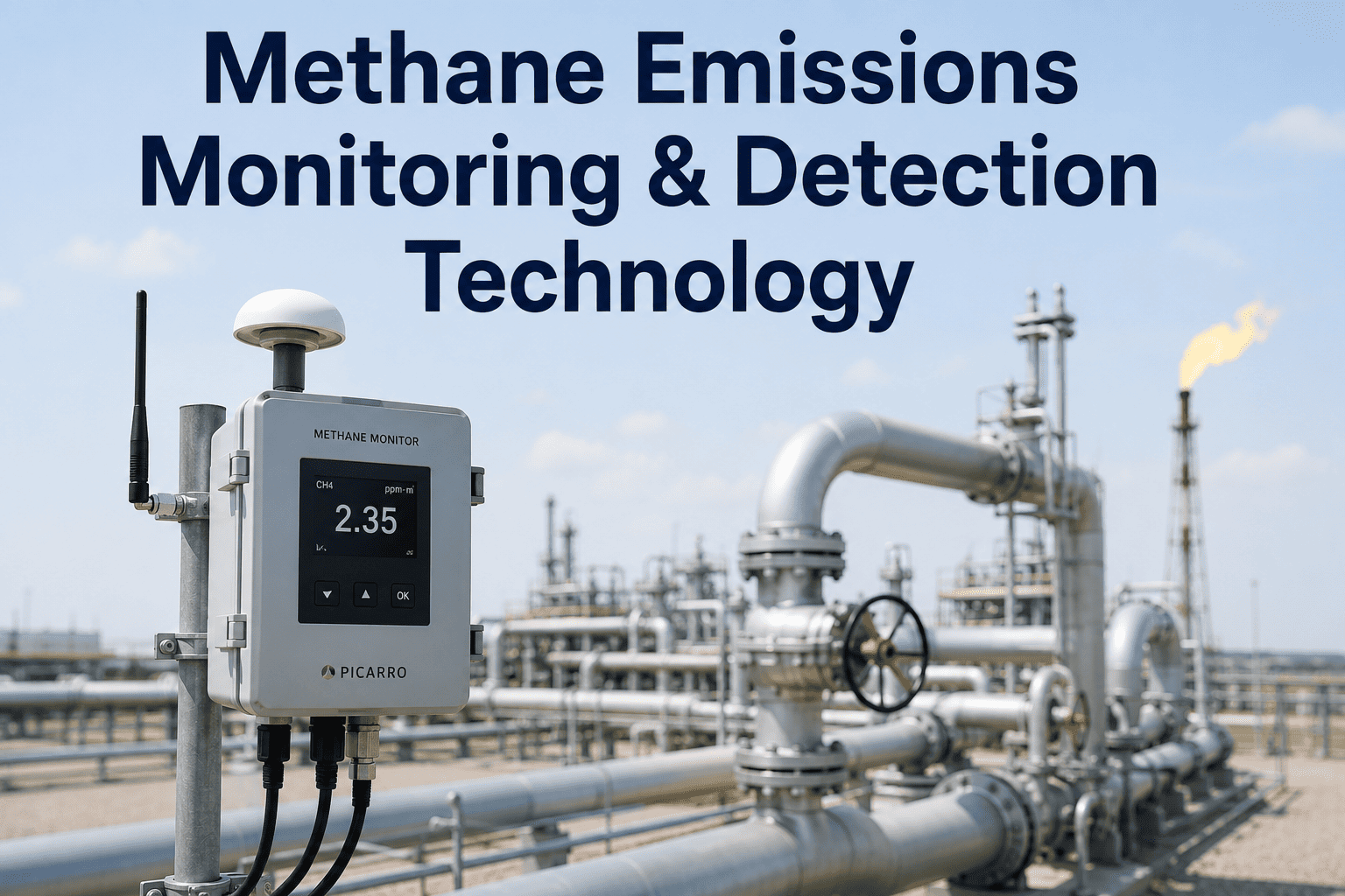
A transmission operator was losing $620K annually in undetected methane releases from small pipeline leaks, traced to 3-5 slow failures progressing between quarterly aerial FLIR surveys. Ground LDAR provided no coverage on remote segments. iFactory's hyperspectral satellite methane detection identified all 4 active leak plumes within 28 days of deployment, enabling targeted investigations without excavating entire suspected corridors. Methane quantification supported EPA GHGRP reporting.
$620K
Annual methane release cost eliminated
28 days
Time to identify all 4 active methane plumes
$1.2M
Annual compliance value from early detection
Results Like These Are Standard. Not Exceptional.
Every iFactory deployment is scoped to your specific pipeline route configuration, corridor terrain, and threat history — so you get results calibrated to your network, not a generic benchmark. Connects to Your Existing DCS/SCADA & Historians.
What Pipeline Integrity Teams Say About iFactory
The following testimonials are from pipeline integrity directors and corridor monitoring specialists at operators currently running iFactory's satellite AI monitoring platform.
We detected construction encroachment 9 days before excavation equipment arrived. iFactory tells us exactly where activity is occurring, what threat type we're facing, and when to dispatch field crews. Our corridor visibility has never been this comprehensive.
Director of Pipeline Integrity
Midstream Crude Operator, USA
The false positive problem from old ground sensors was causing alert fatigue. Within four weeks of satellite monitoring going live, our teams were responding again because they trusted the AI classification. That shift alone prevented two third-party strikes.
VP of Operations
Natural Gas Transmission, Canada
Integration with our ESRI ArcGIS and Honeywell SCADA took 9 days end-to-end. I was expecting months based on past satellite vendor experience. The iFactory team understood both the GIS workflow and SCADA protocol. Technical depth is genuinely different here.
Head of Integrity Management
Gas Gathering Operator, UAE
We prevented critical ground subsidence failure in month two. The InSAR system flagged accelerating settlement 22 days before emergency intervention threshold. Our team scheduled pipeline support installation during planned maintenance, not emergency response. That outcome alone justified the investment.
Pipeline Integrity Manager
Transmission Pipeline Operator, UK
Frequently Asked Questions
Does iFactory require new sensors or ground equipment along the pipeline corridor?
No. iFactory uses satellite imagery exclusively — no ground sensors, aerial patrol aircraft, or field equipment required. Integration connects to existing GIS, SCADA, and integrity systems via REST APIs and OGC standards. Where aerial FLIR or ground LDAR exists, iFactory complements those systems providing continuous coverage between survey cycles.
Book a demo to see satellite-only capabilities.
Which satellite sources and imagery types does iFactory use for pipeline monitoring?
iFactory fuses optical (Planet, Maxar, Sentinel-2), SAR radar (Sentinel-1, ICEYE), InSAR subsidence (TRE ALTAMIRA), thermal infrared (Landsat-8), and hyperspectral methane (GHGSat, MethaneSAT) sources. Multi-source fusion provides all-weather monitoring via SAR when optical unavailable due to cloud cover. Revisit rates range from 3-7 days depending on latitude.
Contact support for coverage assessment.
How does iFactory handle different terrain types along the same pipeline?
iFactory trains separate sub-models per terrain type — accounting for vegetation density, surface composition, seasonal patterns, and threat differences between agricultural, forested, desert, and mountainous segments. Multi-terrain pipelines fully supported. Terrain-specific parameters configured during Week 3-4 model training using historical imagery and corridor characteristics.
What compliance frameworks does iFactory satellite monitoring support?
iFactory auto-generates corridor integrity reports formatted for PHMSA 49 CFR 192.905/195.452, API 1160, CSA Z662 Annex O, UK Pipeline Safety Regulations, and regional right-of-way requirements. Report templates pre-configured per framework and generated automatically at threat closure — no manual documentation required. Methane detection supports EPA GHGRP Subpart W reporting.
How long before the AI model produces reliable corridor threat detections?
Baseline training on historical satellite imagery typically takes 7-10 days using 12-24 months prior coverage. First live detections validated during Week 3-4 pilot on 100-mile segment. Full calibration — with false positive rate under 6% — achieved within 6 weeks for standard environments. Desert and agricultural corridors calibrate faster than dense forest.
Can iFactory detect threats on offshore pipelines or subsea sections?
Offshore platform leak detection and subsea methane plume detection supported via hyperspectral and thermal satellites. Underwater sections require bathymetric LiDAR or side-scan sonar — satellite optical/SAR cannot penetrate water. iFactory monitors offshore-to-onshore transitions, platform facilities, and exposed seabed pipelines where satellite visibility exists. Coverage confirmed during Week 1 audit.
Request offshore assessment.
Stop Missing Pipeline Threats. Stop Relying on Quarterly Patrols. Deploy Satellite AI Monitoring in 8 Weeks.
iFactory gives pipeline integrity teams continuous satellite AI monitoring, multi-spectral threat detection, automated corridor integrity reporting, and investigation decision support — fully integrated with your existing GIS and SCADA systems in 8 weeks, with ROI evidence starting in week 4. AI Eyes That Detect Leaks Before They Escalate. OT Data Stays Inside Your Security Perimeter.
92% threat detection before ground contact occurs
GIS, SCADA & integrity platform integration in under 2 weeks
Graded alerts with under 6% false positive rate
Auto-generated PHMSA and API 1160 compliance reports