Every year, floods cost the U.S. alone between $180 billion and $496 billion in damages — and a staggering share of that loss traces back not to rain, but to infrastructure that failed without warning. Levees, embankments, and floodgates built decades ago are now operating in climate conditions they were never designed for. The question facing every infrastructure operator today is brutally simple: can you see what's happening before it breaks? Computer vision is changing that answer — from "no" to "yes, 24 hours a day." If you're responsible for flood infrastructure and want to understand how AI visual monitoring fits your operations, schedule a strategy session with iFactory's team.
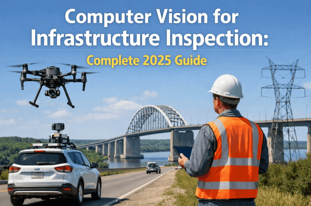
How Computer Vision Monitors Flood Infrastructure in Real Time
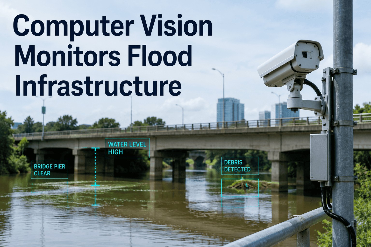
AI video analytics watch levees, embankments, and floodgates around the clock — detecting surface changes, seepage patterns, and structural shifts before they escalate into failures.
The Inspection Gap Nobody Talks About
The average U.S. dam is now 89 years old. Many were engineered using mid-20th century rainfall models that dramatically underestimate today's extreme precipitation events. Yet despite this aging infrastructure crisis, traditional inspection regimes remain calendar-based — a human inspector visits once or twice a year, walks the crest, and files a report. In the months between those visits, levee faces erode, micro-seepage channels form, and floodgate hinges corrode — invisibly.
Computer vision closes this gap by converting existing CCTV networks and low-cost IP cameras into continuous structural sensors. The camera never blinks. The AI model never has a bad day. Every frame is analyzed for condition change — surface displacement, crack propagation, waterline rise, and seepage emergence — against a calibrated baseline of what "normal" looks like for that specific structure.
Three Structures, Three Different Failure Signatures
Computer vision models are trained structure-specifically — what counts as a critical anomaly on a concrete floodgate differs fundamentally from a compacted earth levee. iFactory deploys purpose-trained models for each structure type.
The AI Models Behind the Detection
Modern flood infrastructure monitoring doesn't rely on a single algorithm. It deploys a layered ensemble of computer vision architectures, each optimized for a specific detection task. Research published in 2025 demonstrates SVM-based seismic anomaly detection achieving over 97% accuracy on levee datasets — and convolutional networks now routinely outperform human inspectors on surface crack identification.
Tiered Alert Architecture: No False Alarm Fatigue
The biggest fear operators have about AI monitoring is alert overload — a system crying wolf so often that real warnings get ignored. iFactory addresses this through a three-tier confidence architecture that filters noise at the model level before anything reaches an operator's screen.
Sensor Setup: What You Actually Need
One of the most common misconceptions is that AI visual monitoring requires a full hardware overhaul. In most deployments, iFactory integrates with cameras that are already in place. For new installations, the hardware footprint is minimal.
Traditional Inspection vs. AI Visual Monitoring
| Metric | Manual Inspection | AI Computer Vision |
|---|---|---|
| Inspection Frequency | 1–2 times per year | Continuous — every frame |
| Crack Detection Threshold | Visible to naked eye (~5mm+) | Sub-millimeter (pixel-level) |
| Night / Adverse Weather | Not possible | Full operation with thermal |
| Alert to Operator | Weeks to months | Within seconds |
| Documented Evidence Trail | Manual notes, sporadic photos | Timestamped, annotated archive |
| Cost per Inspection Cycle | High (labour + access) | 25–45% lower over 3 years |
"We went from inspecting 8 km of levee twice a year to having every meter monitored in real time. The first serious seepage event we caught through AI gave us 11 days of lead time — enough to mobilize a repair crew before water levels peaked."
Why the Urgency Is Real in 2025
The American Society of Civil Engineers' 2025 infrastructure report card gave U.S. dams and levees grades of D and D+ respectively — unchanged despite billions in federal infrastructure investment. Stormwater and wastewater systems face a funding gap projected to reach $690 billion by 2044 if current trajectories hold. Meanwhile, climate-driven monsoon intensification is pushing peak flood events well beyond the design parameters of infrastructure built in the 1930s–1970s.
Don't Wait for the Next Flood Event to Find Out What Broke
iFactory deploys AI computer vision across levees, dams, and floodgates — giving your team real-time condition visibility, documented evidence trails, and early warnings that calendar-based inspections will never provide.