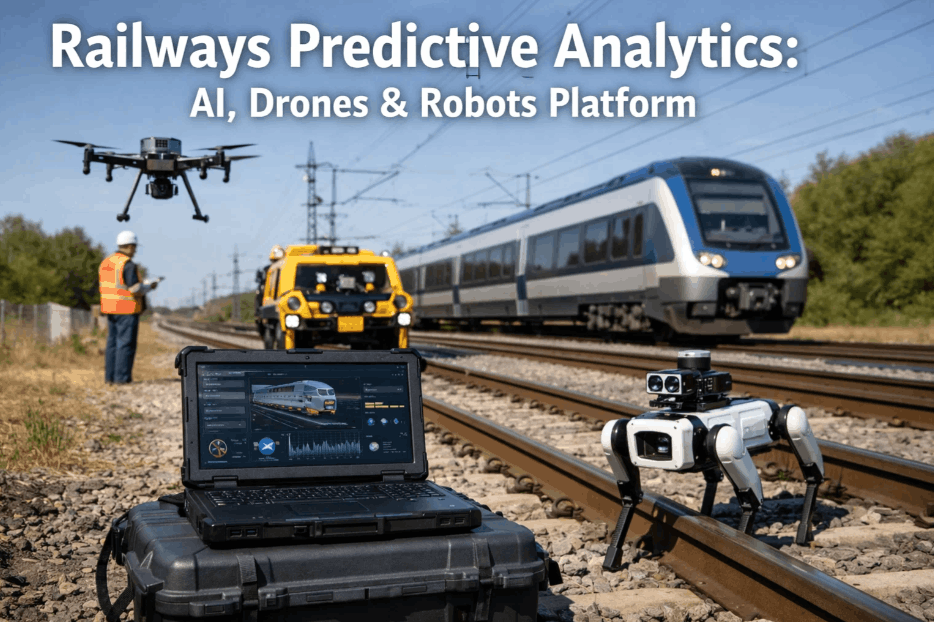
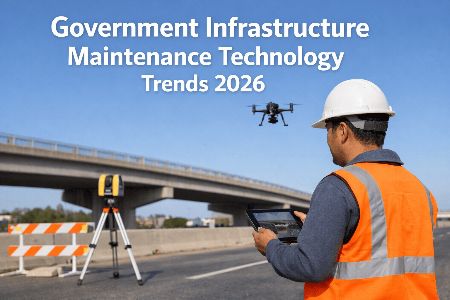
Integrated platform development for drones, robots, and AI-driven infrastructure is no longer a futuristic laboratory concept — it is a critical baseline for modern government agencies tasked with managing vast, complex asset networks. As infrastructure portfolios exceed human-scale monitoring capabilities, the convergence of autonomous aerial vehicles, ground-based robotics, and predictive AI has emerged as the only viable path for sustainable maintenance, public safety, and lifecycle optimization. This guide explores how to build a unified intelligence layer that coordinates these disparate autonomous systems into a single, cohesive operational engine for state and federal infrastructure management.
Is Your Infrastructure Data Integrated for AI & Robotics?
Build a future-proof platform that centralizes drone telemetry, robot missions, and AI analytics into a single dashboard for government-scale asset management.
The Strategic Convergence of Drones, Robots, and AI in Infrastructure
Modern infrastructure management requires a multi-domain approach where aerial drones perform rapid visual surveys, ground robots conduct high-fidelity structural checks, and AI handles the massive data processing required to turn raw imagery into actionable work orders. The primary challenge is not the individual hardware, but the integration of these systems into a "Single Pane of Glass" architecture. Without a unified platform, agencies fall into data silos where drone footage resides in one database and robotic sensor logs in another, preventing the cross-domain correlation needed for predictive intelligence. You can book a demo to see how an integrated platform eliminates these silos and delivers a 360-degree view of asset health across thousands of miles of infrastructure.
Aerial Drones (UAV)
Automated flight paths for bridge inspections, transmission line monitoring, and disaster response. Provides rapid, safe perspective on high-elevation and hard-to-reach structural components.
Ground Robots (UGV)
Crawler robots and quadruped units specialized in confined space entry, pipeline internal inspection, and heavy structural payload delivery in high-noise or hazardous environments.
Predictive AI
Computer vision models that automatically detect cracks, corrosion, and structural fatigue in real-time, prioritizing maintenance budgets based on actual risk rather than static schedules.
Integrated Platform
The central software layer that coordinates missions, manages fleet telemetry, and unifies data from drones and robots into a legally-binding digital audit trail for public infrastructure.
Building a Cohesive Data Architecture for Autonomous Government Fleets
A truly integrated platform must solve the triad of connectivity, computation, and compliance. For infrastructure management, this means the platform must process data at the edge (on the drone or robot) for immediate safety actions, while syncing to a centralized cloud for long-term predictive modeling. The architecture must also satisfy strict government data sovereignty requirements, ensuring that all telemetry and high-resolution imagery are stored in compliant, encrypted environments. Book a Demo to review our reference architecture for secure, multi-fleet orchestration that meets the high security hurdles established for federal infrastructure projects.
| Platform Component | Primary Role | AI Integration Value | Operational Impact | Deployment Priority |
|---|---|---|---|---|
| Unified Telemetry | Real-time tracking | Path optimization | Collision avoidance | High |
| Automated Mission Sync | Task hand-offs | Multi-robot coordination | 24/7 autonomous cycles | High |
| Computer Vision Layer | Anomalies detection | Automated defect tagging | 90% faster survey review | Medium |
| Digital Twin Output | Asset visualization | Time-lapse wear modeling | Predictive CapEx planning | Medium |
| Fleet Maintenance | Health monitoring | Battery lifecycle AI | Zero-downtime operations | Lower |
Coordinating Multi-Domain Missions in Complex Environments
Autonomous coordination is the high-water mark of integrated infrastructure platforms. In this model, an aerial drone may detect a thermal anomaly on a bridge deck, which triggers a ground robot to leave its charging dock and perform a deeper structural ultrasound at that exact coordinate—all without human intervention. This self-healing data loop is the future of infrastructure resilience. The platform acts as the brain, managing the logic of these hand-offs while ensuring that every movement is logged and every signature is validated. Book a Demo to see how we manage these complex cross-domain hand-offs using our proprietary autonomous logic engine.
Asset Digitization
Map existing infrastructure into high-fidelity 3D digital twins. This provides the virtual environment needed for AI to plan safe drone flight paths and robotic ground missions.
Sensor Fusion
Integrate LiDAR, thermography, and multispectral sensors across the fleet. This ensures that the AI receives a comprehensive data set for every inspection point.
Autonomous Orchestration
Deploy the unified platform to manage mission launch, telemetry tracking, and collision avoidance for multi-agent autonomous fleets in the field.
Predictive Maintenance
Utilize AI to process sensor data into maintenance priorities. Records are automatically generated for every detected defect, ready for engineering review.
Lifecycle Optimization
Aggregate historical data to predict long-term structural trends. Move from reactive fixes to a proactive replacement strategy that extends asset life by decades.
Top Challenges in Deploying Integrated Autonomous Platforms
Most government agencies struggle with autonomous deployments because they approach drones and robots as individual tools rather than as a single, integrated platform. This fragmentation leads to the "Integration Gap," where data quality degrades and operational costs spiral due to lack of coordination. Understanding these common gaps is essential for leadership teams planning a multi-million dollar digital transformation project for their infrastructure assets.
Drones and robots running on different communication protocols, preventing real-time coordination and leading to airspace or workspace conflicts in the field.
Inspection data trapped in vendor-specific dashboards. AI cannot correlate aerial imagery with ground sensor data if the platform isn't vendor-neutral and unified.
Manual mission planning that works for one drone but fails when managing a fleet of hundreds across an entire interstate highway system or utility grid.
Autonomous fleets communicating over unencrypted channels or storing critical infrastructure data in non-sovereign cloud environments, creating significant national security risks.
Dependence on slow cloud uploads for safety-critical decisions. Integrated platforms must use AI at the edge to make split-second autonomous adjustments during missions.
Failure to maintain a legally-binding audit trail of autonomous actions. Without a compliant platform, the data collected cannot be used for official regulatory filings or safety audits.
Infrastructure managers can solve these gaps by moving to a unified intelligence layer. Teams frequently book a demo to benchmark their current autonomous pilot programs against a fully integrated enterprise architecture designed for massive government-scale scalability.
The Role of AI Governance in Distributed Autonomous Infrastructure
AI governance is the framework that ensures autonomous infrastructure decisions are accurate, ethical, and defensible. When a platform's AI predicts a bridge failure, the underlying logic must be transparent to human engineers. This "Explainable AI" is critical for public infrastructure projects where life-safety decisions are being made. Governance also includes the formal validation of algorithms through structured testing protocols—ensuring that your drones and robots are seeing what the AI says they are seeing. Book a Demo to review our AI validation framework and see how we maintain data integrity at every step of the autonomous loop.
Launch a Unified Autonomous Platform for Your Infrastructure
Coordinate drones, robots, and AI in a single dashboard to maximize safety and optimize long-term asset maintenance budgets across your government agency.
Roadmap to Scaling Autonomous Operations Nationwide
Scaling an integrated platform across a national infrastructure grid requires a phased deployment strategy. Begin with "High-Density Corridors" where the ROI on autonomous inspection is immediate—such as major bridges or power grids. As the AI model matures with more data, the platform can be scaled to rural or remote assets where manual inspection is prohibitively expensive. You can book a demo to review our global scaling roadmap and understand how to transition from small-scale autonomous pilots to a full-scale integrated infrastructure platform.
Integrated Platforms for Drones & AI — Frequently Asked Questions
Can these platforms integrate both COTS (Off-the-shelf) drones and custom robots?
Yes. An integrated architecture uses vendor-neutral APIs to communicate with any hardware. This allows you to fly DJI or Skydio drones while simultaneously coordinating Boston Dynamics robots or custom crawlers within the same dashboard.
How does the platform handle poor connectivity in remote infrastructure sites?
The platform utilizes "Edge Intelligence" where the AI runs directly on the hardware. This allows the drone or robot to complete its mission autonomously and sync the recorded data once it returns to a base station with high-bandwidth connectivity.
Is the platform compliant with government data security standards?
Absolutely. We deploy on sovereign government cloud environments (GovCloud) with AES-256 encryption. Every autonomous action creates an immutable log, ensuring full accountability and compliance with federal data transparency standards. Book a Demo to review our security protocols.
What is the estimated ROI for an integrated autonomous platform?
Most agencies see a 40% reduction in inspection costs within the first year as drone surveying eliminates the need for expensive lane closures and heavy scaffolding. By year three, predictive AI maintenance avoids catastrophic repairs, potentially saving millions in capital replacement costs. Book a Demo to see our ROI calculator.
How does the platform handle extreme weather conditions?
The platform's orchestration engine monitors real-time weather feeds and automatically pauses missions if wind speeds or visibility cross safety thresholds. For remote sites, internal heating and weatherproofing protocols are triggered for robotic docks before deployment.
Can the data be exported to legacy GIS and BIM systems?
Yes. The platform provides full export capabilities for common formats including GeoJSON, LandXML, and IFC. Book a Demo to see how we sync autonomous telemetry directly into your existing asset management software.
Launch Your Integrated Autonomous Platform Pilot Today
Join the agencies already optimizing their infrastructure lifecycles with coordinated drones, robots, and AI analytics. Secure your data and automate your inspections.