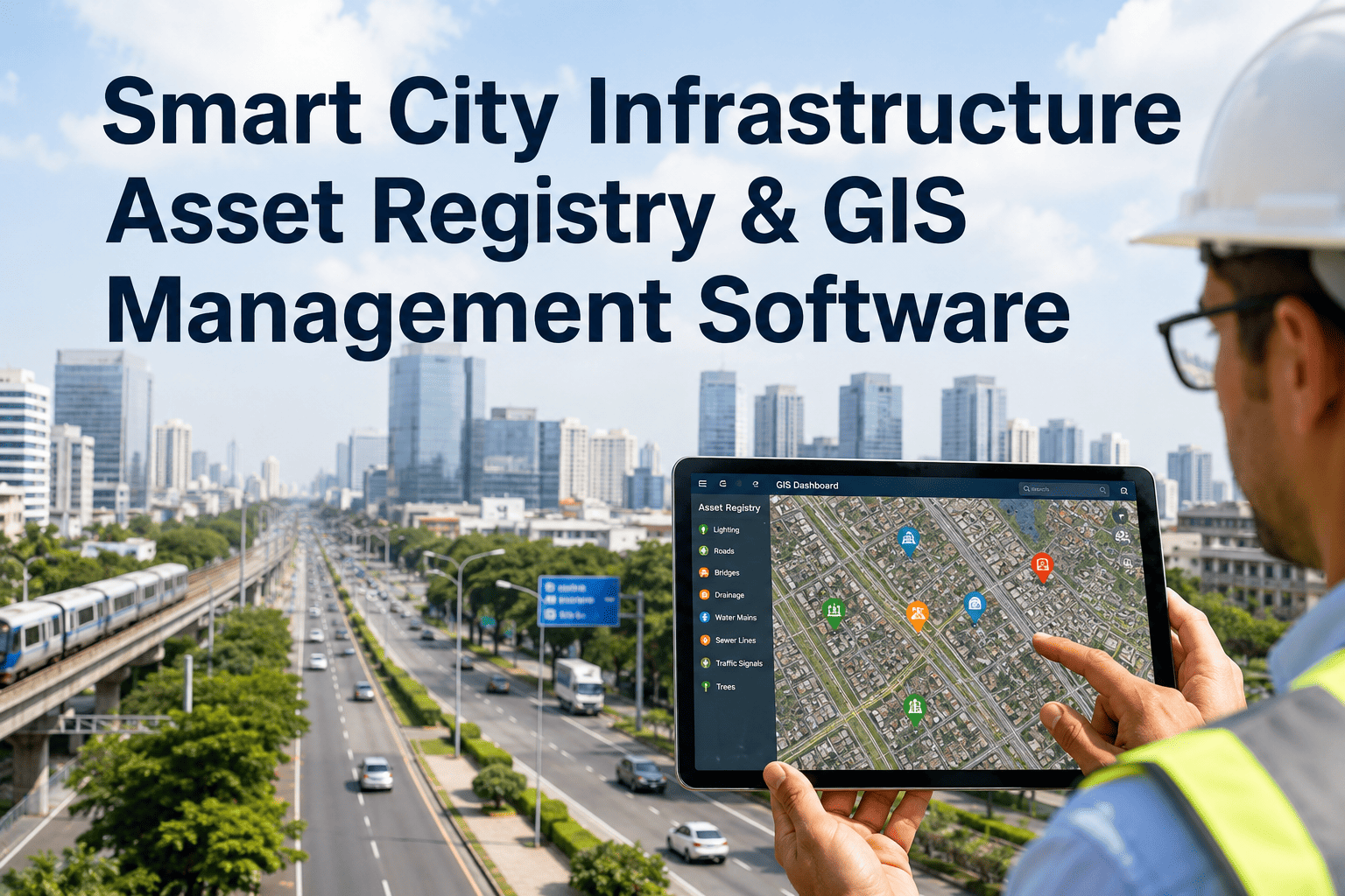
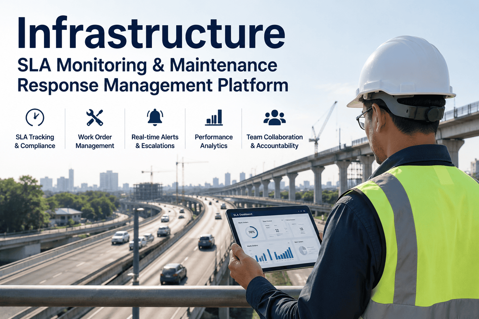
Somewhere in your highway agency's spreadsheets, there is a guardrail installed in 2009 with no condition record since 2019. A drainage culvert whose location is known to one inspector who retired last year. A batch of traffic signs whose retroreflectivity was last measured when a different administration was in office. This is not a data problem — it is a data entry problem. The assets exist. The inspections happen. But the information never makes it reliably into the register because the process of capturing, classifying, and entering asset records has always been manual, slow, and expensive. AI changes that equation completely. Survey vehicles equipped with cameras, LiDAR, and GPS now capture every asset class on every pass — and AI classifies, geo-tags, and writes those records directly into your GIS and RAMS without a field technician typing a single row. Here is how the full automation pipeline works, what it captures, and what agencies that have deployed it are reporting.
Asset Capture · AI Classification · GIS Auto-Population · RAMS Integration · Live Register
Your Asset Register Should Write Itself. With AI, It Does.
iFactory's AI infrastructure platform automatically populates and maintains your highway asset register from inspection and sensor data — cutting manual data entry by 90%, eliminating data gaps, and keeping your GIS and RAMS current without dedicated inventory surveys.
The Hidden Cost of a Manual Asset Register
A highway asset register that is six months out of date is not just an administrative inconvenience — it is a liability, a budget risk, and a compliance exposure. FHWA's 23 CFR Part 515 requires agencies to maintain current and accurate road asset data as part of their Transportation Asset Management Plans (TAMPs). Yet the manual inspection-to-entry cycle means most registers lag reality by 12 to 24 months on any given asset class. The Idaho Transportation Department spent years unable to demonstrate knowledge of specific assets in legal proceedings precisely because manual collection had left gaps in the record.
Manual Register — The Status Quo
Field technician drives the corridor and records observations on paper or tablet
Data is transcribed into the asset database — with transcription errors and inconsistent classification
Entire network inspected once per year — or less, on underfunded corridors
New assets installed after last survey cycle are invisible to the register until the next round
GIS layers and RAMS database go out of sync — no single source of truth
AI-Automated Register — The New Standard
Survey vehicle passes the corridor — AI classifies every visible asset class simultaneously
Geo-tagged records written directly to GIS and RAMS — zero manual transcription, zero classification variability
Every routine maintenance vehicle pass updates the register — continuous coverage at no additional survey cost
New assets detected and registered on the next vehicle pass — register is never more than one survey cycle behind reality
Single synchronized source of truth across GIS, RAMS, and TAMP — defensible in audit and legal proceedings
Every Asset Class AI Captures in a Single Survey Pass
The most significant operational advantage of AI asset capture is that it is multi-class and simultaneous. A single survey pass inventories every asset type visible from the vehicle — not just the one the inspector was tasked to count. Idaho Transportation Department's first AI-assisted survey of all 7,200 miles of state highway captured 28 distinct asset feature classes in less than three weeks. A manual programme covering the same scope would have taken years.
Asset Class 01
Signs & Signals
AI classifies every sign against FHWA MUTCD standards — type, facing, retroreflectivity condition, post damage, and GPS location. Sign inventories that previously took months of manual field work are produced automatically on every survey pass.
Regulatory, warning, guide signs
Traffic signals and controllers
Retroreflectivity condition score
Asset Class 02
Guardrails & Barriers
Computer vision detects guardrail presence, type, terminal condition, and damage status — including impacts that deform the rail without breaking it. Alabama DOT's first AI-assisted guardrail inventory delivered the network's first-ever comprehensive location-aware record across the surveyed corridors.
W-beam, cable, concrete barrier types
End terminal condition
Impact damage classification
Asset Class 03
Pavement Markings
AI evaluates lane line, edge line, and crosswalk marking visibility — scoring retroreflectivity and wear against MUTCD compliance thresholds. Agencies previously had no cost-effective way to survey pavement marking condition network-wide; AI makes it continuous and automatic.
Lane lines, edge lines, stop bars
Retroreflectivity score by segment
MUTCD compliance flag
Asset Class 04
Drainage & Culverts
Roadside drainage structures — inlets, outlets, culverts, ditches — are among the most poorly inventoried asset class in most agencies' registers. AI vision identifies drainage infrastructure from survey imagery and creates georeferenced records for every detected structure, including estimated condition grade.
Culvert inlet/outlet detection
Ditch geometry and blockage flags
Structure type and material class
Asset Class 05
Lighting & Utility Poles
Street lighting, luminaire type, pole material, and visible structural condition are logged automatically. AI differentiates between highway lighting, utility poles, and communication infrastructure — giving asset managers a complete count and condition baseline for liability and replacement planning.
Pole count and type classification
Luminaire type and visible condition
Lean, damage, and collision flags
Asset Class 06
Vegetation & Clearance
Vegetation encroachment into sight-line zones, sign-obscuring overgrowth, and verge conditions are flagged automatically during each pass — triggering maintenance work orders before encroachment becomes a safety or compliance issue. Alabama DOT first detected vegetation encroachment patterns network-wide through AI during its guardrail survey.
Sight-line encroachment zones
Sign obscurement detection
Verge and shoulder condition
How AI Writes Your Asset Register: The Automation Pipeline
The 90% reduction in manual data entry doesn't come from making people type faster. It comes from removing most of the human typing entirely — replacing the capture, classification, and entry steps with an automated chain that runs from vehicle pass to GIS record in a matter of hours.
From Survey Pass to Live Register Record
Vehicle-mounted cameras, LiDAR, and GPS run simultaneously during any survey or maintenance pass
High-resolution imagery at 4K, millimetre-accuracy 3D point clouds, and continuous GPS track — captured in a single drive-through at normal road speed. Idaho DOT collected data for all 7,200 miles of state highway in under three weeks using this approach.
Step 02
AI Classification
Computer vision models identify, label, and classify every asset detected in the imagery — across all asset classes simultaneously
AI models trained on MUTCD standards, asset type libraries, and condition grading frameworks process each frame. Asset type, condition score, and attribute flags are assigned — consistently, without inspector variability — at over 85% identification accuracy documented in DOT research programmes.
Every classified asset is assigned a GPS coordinate from the vehicle's continuous position track — to centimetre accuracy with RTK GPS
LiDAR-collected 3D models achieve point-to-point accuracy of ±2cm. Each asset record carries a precise coordinate pair that maps directly onto your GIS layer — no manual plotting, no approximate road-chainage estimates.
Classified, geo-tagged records are written directly to your GIS asset layer — new assets added, existing records updated, removed assets flagged
GIS integration delivers geodatabases in standard format (Esri, QGIS, OpenGIS compatible). Assets detected for the first time create new register entries. Assets previously recorded are updated with the latest condition score. Assets no longer detected are flagged for review.
Updated GIS asset data syncs automatically to your Road Asset Management System — closing the loop between the register and the maintenance planning workflow
Condition scores flow into your RAMS priority model. Assets crossing deterioration thresholds automatically appear in the maintenance queue. Your TAMP expenditure forecasts update with current condition data — not last year's survey. Every change carries a full audit trail.
Asset Inventory · GIS Population · RAMS Integration · TAMP Compliance
How Many Asset Records in Your Register Are Out of Date Right Now?
iFactory's AI platform captures, classifies, and writes highway asset records directly to GIS and RAMS — from your next survey pass. Book a Demo to see the asset automation pipeline applied to a corridor like yours.
Manual vs AI-Automated Asset Register: The Numbers
The operational difference between manual and AI-automated asset registers is measurable across every dimension of the data management workflow. Here is what agencies running AI-automated programmes report against comparable manual baselines.
| Metric |
Manual Inspection |
AI-Automated |
| Network survey time |
Months to years for full coverage |
Weeks — Idaho DOT completed 7,200 miles in under three weeks |
| Asset classes per pass |
1–2 (inspector focused on assigned class) |
28+ classes simultaneously from a single data collection pass |
| Data entry after field work |
Hours per corridor — manual transcription per asset |
Zero — records written directly to GIS by the AI model |
| Classification consistency |
Variable — depends on inspector training and fatigue |
Standardised — same model, same criteria, every pass |
| Register currency |
12–24 months behind reality |
Updates on every vehicle pass — continuous currency |
| Inspection cost |
Significant — dedicated inspection staff and surveys |
75% faster inspection; $144K saved per 100-airport equivalent programme (Benesch/Bentley data) |
| Legal and audit defensibility |
Gaps in record — liability exposure |
Full timestamped audit trail per asset — defensible in proceedings |
GIS and RAMS Integration: One Record, One Source of Truth
The value of an automated asset register is only realised if the data flows into the systems where decisions are actually made. iFactory's AI pipeline is built for integration — not as a standalone asset catalogue, but as the live data layer that keeps GIS and RAMS current without dedicated synchronisation effort.
GIS Integration
Every Asset, Every Condition, on the Map — Updated Automatically
AI-captured asset records are written to GIS-compatible geodatabases — Esri ArcGIS, QGIS, OpenGIS, and custom platforms via standard API. GIS layers show every asset's location, type, condition score, and last survey date. Planners can query by asset class, condition band, or corridor — and see current data, not last year's survey.
Compatible platforms
Esri ArcGIS · QGIS · OpenGIS · Manifold GIS · Custom REST API
RAMS Integration
Current Condition Data Flowing into Your Asset Management Decision Model
Updated asset condition scores sync to your RAMS — so deterioration models, maintenance trigger thresholds, and long-range expenditure forecasts in your TAMP are always working from current data. Assets crossing condition thresholds automatically generate maintenance priorities. No manual data re-entry between the survey and the maintenance plan.
Compatible systems
dTIMS · Deighton · AgileAssets · Trimble · Custom RAMS via API
"
Previously, asset data was scattered across various sources — both paper and digital — making it difficult to access and utilise effectively. Consolidating everything into a single platform and eliminating the need to find the correct data from multiple systems saved innumerable hours and improved accuracy across the board. The field crews no longer maintain a separate process from the central database — they are the same process.
— Based on documented outcomes from Woodford County Highway Department's GIS Asset Management System deployment, published by Esri
Conclusion
A highway asset register is only as useful as it is current. Manual inspection programmes — however well-run — produce registers that are months to years behind the actual state of the network, covering one or two asset classes per survey cycle, with data that must be transcribed before it reaches the system where it matters. AI automation changes all three of those constraints simultaneously: every asset class captured in every pass, zero manual transcription, and continuous currency without additional survey cost. The Idaho Transportation Department surveyed 7,200 miles in three weeks and captured 28 asset feature classes at ±2cm accuracy. Alabama DOT produced the first comprehensive guardrail inventory in its history from a single AI-assisted pass. Agencies running AI-automated programmes report 75% faster inspection cycles and audit-defensible, timestamped records for every asset in the register.
iFactory's AI platform brings this automation to highway agencies at any scale — from county road networks to state-wide NHS corridors. The pipeline runs from survey pass to GIS write to RAMS sync without a single manual handoff. Book a Demo to see the asset register automation pipeline applied to your network, or Get In Touch to begin the data onboarding process.
Frequently Asked Questions
Your next survey pass can write your asset register for you. The 90% of manual data entry it replaces never has to come back.
iFactory's AI asset register platform captures, classifies, geo-tags, and writes highway asset records to GIS and RAMS automatically — from cameras already on your fleet. Book a Demo to see the full pipeline, or sign up to start your first corridor inventory.