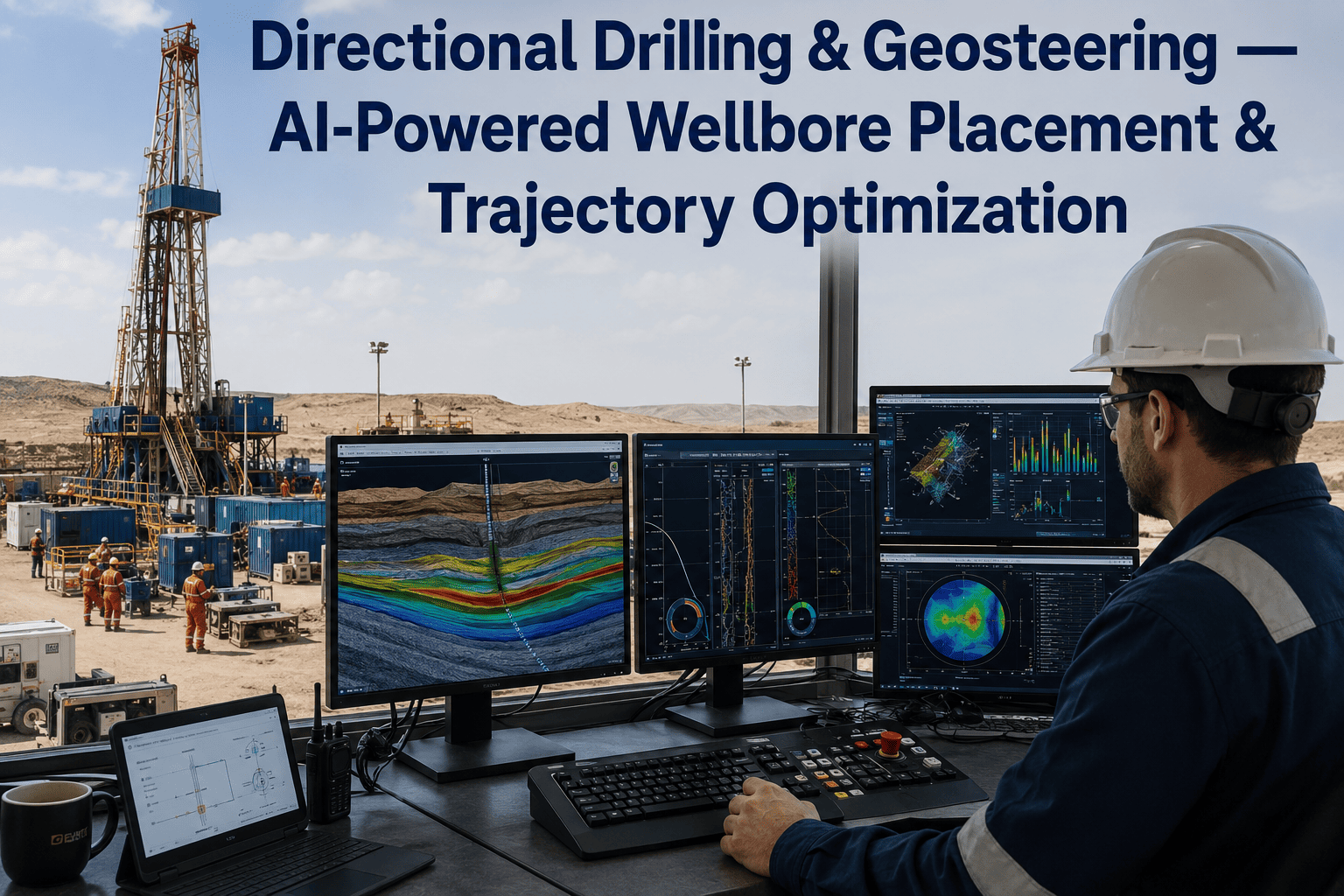
A horizontal lateral that drifts just 10 to 15 vertical feet out of the target zone can quietly erase a large share of a well's expected recovery, even though every joint of pipe still went in the ground on schedule. Traditional geosteering leans on a geologist reviewing gamma ray and resistivity trends between other tasks, often recognizing the drift only after a hundred feet or more of lateral has already left the sweet spot. AI-powered geosteering platforms process measurement-while-drilling and logging-while-drilling data continuously, correlating it against the pre-drill geological model to flag boundary changes in near real time, and drilling teams evaluating the shift are starting to support for early access before their next horizontal program.
Every Foot of Lateral Outside the Pay Zone Is Recovery Left Behind
Horizontal, extended-reach, and multilateral wells are only as valuable as the reservoir contact they actually achieve. Reservoir dip changes, faulting, and thin bed boundaries shift faster than manual interpretation cycles can keep up with, and by the time a trend is confirmed on a shift report, the bit has often already passed the decision point.
Overlying shale cap
Target reservoir zone
AI-guided wellpath — stays in zone
Underlying tight zone
60–65%
Typical reservoir contact on manually steered laterals without real-time correction
Up to 40%
Estimated EUR loss when a lateral drifts out of the productive zone unnoticed
Why Wellbores Drift Out of the Sweet Spot
Most trajectory misses aren't caused by one dramatic event. They come from ordinary geological variation moving faster than the interpretation cycle built to catch it.
Undetected Dip Changes
Formation dip can shift by several degrees across a single lateral, and a static pre-drill model that assumes constant dip will steadily walk the wellbore toward a boundary without any single alarming reading.
Lagging Log Interpretation
Gamma ray and resistivity trends are reviewed periodically rather than continuously, so a gradual climb toward an overlying shale boundary can go unnoticed for hundreds of feet of lateral.
Thin Bed and Fault Complexity
Thin interbedded zones and small-throw faults are difficult to resolve with standard LWD resolution, and manual correlation often only catches them once the bit is already through the boundary.
Delayed Steering Decisions
Even when a boundary change is correctly identified, the time between detection and a confirmed steering instruction to the rig can consume the remaining margin needed to correct trajectory smoothly.
How AI-Powered Geosteering Keeps the Bit in Zone
Instead of replacing the geologist, AI geosteering platforms compress the interpretation cycle from hours down to minutes, so the same expertise is applied while there's still room to correct course.
1
Continuous MWD and LWD Ingestion
Gamma ray, resistivity, and directional survey data stream into the platform continuously instead of being reviewed in periodic shift reports.
2
Real-Time Formation Correlation
Incoming log signatures are correlated against the pre-drill geological model and nearby offset wells to detect dip changes and boundary shifts as they happen.
3
Trajectory Deviation Scoring
The model continuously scores how close the current wellpath is to the reservoir sweet spot and how quickly a correction needs to happen before the margin closes.
4
Steering Recommendation to the Directional Driller
A specific inclination and azimuth adjustment is pushed to the directional driller in operational terms well before the boundary is reached, not after it's crossed.
5
Updated Geological Model for the Next Section
Every confirmed formation top and boundary encountered feeds back into the model, sharpening the prediction for the remainder of the lateral and the next well in the pad.
Manually steered laterals leave nearly 40% of the pay zone untouched when trajectory correction lags formation change.
OxMaint's AI geosteering platform brings continuous MWD and LWD correlation, deviation scoring, and steering recommendations into one workflow connected to your directional drilling team.
Reservoir Contact: Manual Steering vs. AI-Guided Steering
Reservoir contact is the single number that ties directional drilling performance directly to well economics, and it's where the gap between manual and AI-guided steering shows up most clearly.
Manually steered lateral
~62% in zone
AI-guided lateral
~91% in zone
Geosteering Complexity by Well Type
Horizontal, extended-reach, and multilateral wells each present a different geosteering challenge, and the AI approach that works for one doesn't automatically transfer to the next without adjustment.
| Well Type |
Primary Geosteering Challenge |
AI Capability Applied |
Typical Contact Gain |
| Horizontal well |
Maintaining inclination through a thin, dipping target |
Continuous dip recalculation from real-time formation tops |
20–30% |
| Extended-reach well |
Cumulative survey error over long lateral distance |
Continuous trajectory correction against updated survey confidence |
15–25% |
| Multilateral well |
Coordinating multiple branches against one reservoir model |
Shared geological model updated across all active branches |
18–28% |
| Infill horizontal well |
Avoiding depleted zones from offset production |
Pressure-aware trajectory scoring using offset production history |
10–20% |
What It Takes to Make AI Geosteering Work on Your Pad
Clean Offset Data
The geological model is only as sharp as the offset well logs and formation tops feeding it, so validating that data before spud matters more than the algorithm choice itself.
Directional Driller Buy-In
Steering recommendations need to reach the directional driller in operational language during the tour, not as a report reviewed after the section is already drilled.
Continuous Model Feedback
Every confirmed boundary and formation top should feed back into the model so accuracy improves section by section and well by well across the pad.
Where Geosteering Programs Succeed and Where They Stall
What consistently works
Running the AI model alongside the geologist rather than replacing the review entirely, so domain judgment stays in the loop on ambiguous calls.
Validating the pre-drill geological model against the nearest available offset wells before spud, rather than trusting a regional average.
Piloting on two or three wells in a pad before extending the workflow across the full program, so early tuning issues don't scale unnoticed.
Where programs stall
Treating the geological model as fixed once drilling starts, instead of updating it continuously as new formation tops are confirmed.
Sending steering recommendations to a separate dashboard the directional driller doesn't check during an active tour.
Skipping the offset data validation step and letting the model start from an unverified regional assumption.
The Bottom Line on Wellbore Placement
Reservoir contact is decided in minutes, not in the post-well report. Every degree of dip change that goes unnoticed for a few hundred feet is recovery that no amount of completion design can fully win back. AI-powered geosteering closes the gap between when a boundary shift happens and when the directional driller can act on it, and that compressed decision window is what turns a marginal lateral into one that stays in zone for its full planned length.
Frequently Asked Questions
The next lateral on your program doesn't have to leave reservoir contact on the table.
See how OxMaint's geosteering platform builds a formation model from your offset data and pushes real-time steering recommendations to your directional drilling team before the boundary is reached.