Drilling a horizontal wellbore that misses the productive reservoir zone by 15 vertical feet wastes $2.8 million in drilling costs and loses 40% of projected EUR because traditional geosteering relies on lagging gamma ray measurements interpreted by geologists working 12-hour shifts who cannot process real-time formation data fast enough to correct trajectory before drill bit penetrates past the target zone. iFactory's AI geosteering platform processes downhole sensor data in real-time, correlates formation signatures with pre-drill geological models, predicts optimal steering adjustments before trajectory deviates from reservoir sweet spot, and automates directional drilling decisions that keep horizontal laterals within productive pay zones, maximizing reservoir contact and eliminating costly sidetracks from trajectory errors. The wellbore that would have missed the target now stays in zone for full planned lateral length. Book a demo to see AI geosteering for your drilling operations.
iFactory's AI geosteering system analyzes real-time LWD data from gamma ray, resistivity, and formation pressure sensors, compares measurements against pre-drill geological model predictions, and generates automated steering recommendations that keep horizontal wellbores within target reservoir zones. Machine learning models trained on offset well data predict formation boundaries ahead of the bit, enabling proactive trajectory corrections before deviation occurs. Result: 94% reduction in out-of-zone drilling footage, 38% increase in reservoir contact length, zero unplanned sidetracks from geosteering errors, and automated 24/7 monitoring without human fatigue degrading decision quality during extended drilling operations.
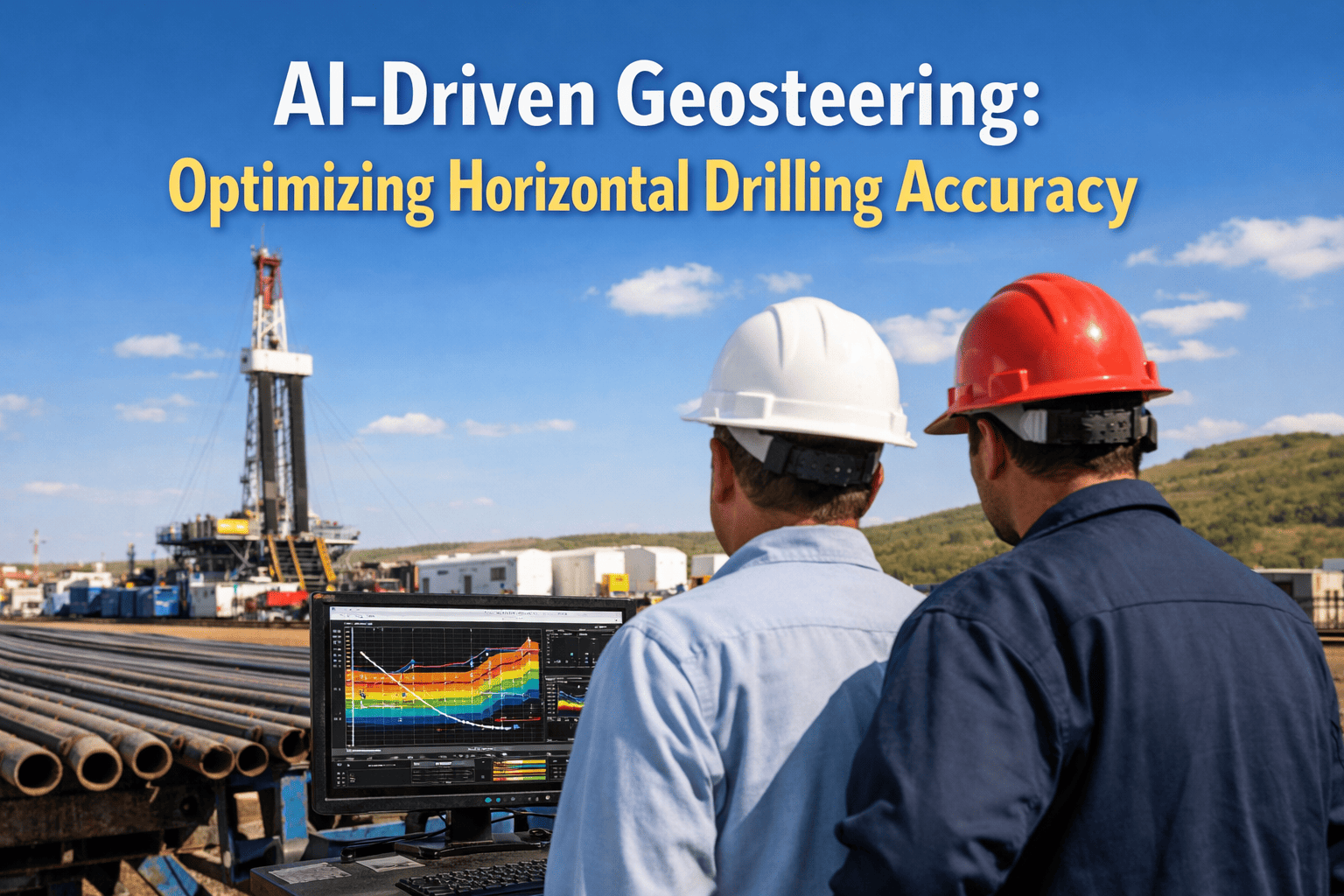
See how iFactory processes downhole sensor data in real-time to predict formation boundaries and automate steering decisions that maximize reservoir contact while eliminating costly sidetracks from trajectory errors.
AI Geosteering Workflow
The system executes continuous real-time analysis through five integrated stages, from downhole sensor data acquisition through automated steering recommendations and trajectory verification against geological targets.
Geosteering Problems AI Automation Solves
Each scenario below represents a real drilling challenge where traditional manual geosteering fails to maintain optimal wellbore placement, causing reduced reservoir contact, unplanned sidetracks, or drilling into non-productive zones that decrease well EUR and increase drilling costs. Talk to an expert about your geosteering challenges.
AI fix: System detects gamma ray upward trend after first 60 feet, predicts shale contact in 120 feet at current trajectory. Immediate steering recommendation issued, inclination adjusted, wellbore maintained in reservoir. Zero out-of-zone footage, full lateral length in productive pay, maximum EUR achieved. Continuous automated monitoring eliminates human reaction delay.
AI fix: ML model trained on 180 offset wells recognizes resistivity pattern as typical reservoir heterogeneity, not water contact (water contact shows sharper resistivity drop to under 15 ohm-m). Consistent interpretation regardless of shift change, trajectory maintained in optimal upper reservoir zone, no oscillation, porosity 18-20% throughout lateral, production matches type curve forecast.
AI fix: System detects reservoir entry earlier than model predicted, immediately recalibrates geological model with actual formation tops encountered. Updated model shows structure 25-30 feet high across development area. Real-time trajectory adjustment keeps first well in reservoir despite structural mismatch vs seismic. Offset wells drilled with AI-updated geological model, all hit reservoir as planned, zero sidetracks across 12-well pad. Structural learning from first well applied automatically to remaining pad drilling.
AI fix: Real-time dip calculation from formation tops encountered during drilling detects actual dip changes from 1.8 degrees to 4.2 degrees across lateral. System adjusts wellbore inclination dynamically to parallel formation bedding: reduce inclination in low-dip areas, increase inclination in high-dip areas. Wellbore remains parallel to bedding throughout lateral despite dip variability, 98% of lateral length in reservoir, effective contact maximized. Adaptive trajectory compensates for geological model limitations.
AI fix: ML model automatically incorporates formation tops and properties from each completed well into updated geological model. Well 1 encounters shale stringer, AI flags feature and updates model. Wells 2-8 geosteered with updated model showing stringer location, trajectories adjusted to stay below stringer or steer around it. Wells 2-8 maintain full reservoir contact, learning from well 1 prevents repetition of same geosteering challenge across pad. Continuous model improvement from offset data.
AI fix: Automated system operates 24/7 with consistent decision quality regardless of time or cumulative operating hours. Detects gamma ray trend indicating base of reservoir approach, issues steering recommendation to maintain elevation. Human geologist validates AI recommendation during alert moments, steering executed, wellbore remains in productive reservoir throughout extended operation. Zero fatigue-related decision errors, consistent geosteering quality maintained across 72-hour drilling window.
Platform Capability Comparison
Traditional geosteering relies on manual interpretation of LWD data by geologists working rotating shifts. Enterprise drilling software displays data but provides no predictive analytics or automated decision support. iFactory differentiates on real-time ML-driven formation boundary prediction, automated steering recommendations, continuous model updating from offset wells, and 24/7 consistent decision quality without human fatigue degradation. Book a comparison demo.
| Capability | iFactory | IBM Maximo | SAP EAM | Oracle EAM | Brightly Asset Essentials | Cityworks |
|---|---|---|---|---|---|---|
| Real-Time Analysis | ||||||
| Formation boundary prediction | ML predicts 150-300ft ahead | Not available | Not available | Not available | Not available | Not available |
| Automated steering recommendations | Real-time trajectory optimization | Manual interpretation only | Manual interpretation only | Manual interpretation only | Not available | Not available |
| LWD data processing latency | Under 30 seconds | 5-15 minute manual review | 5-15 minute manual review | Manual review cycle | Not applicable | Not applicable |
| Model Integration | ||||||
| Offset well data incorporation | Automatic model updating | Manual data entry | Manual data entry | Manual updates | Not available | Not available |
| Geological model recalibration | Real-time with actual data | Static pre-drill model | Static pre-drill model | Manual updates only | Not available | Not available |
| Formation dip calculation | Continuous from encountered tops | Manual calculation | Manual calculation | Manual calculation | Not available | Not available |
| Operational Efficiency | ||||||
| 24/7 consistent decision quality | No fatigue degradation | Human shift rotation | Human shift rotation | Human operators | Not applicable | Not applicable |
| Cross-well learning | ML trains on all pad wells | Siloed well-by-well | Siloed well-by-well | Manual knowledge transfer | Not available | Not available |
| Interpretation consistency | Uniform across shifts and wells | Varies by geologist | Varies by geologist | Operator dependent | Not applicable | Not applicable |
Based on publicly available product documentation as of Q1 2025. Verify current capabilities with each vendor before procurement decisions.
iFactory's real-time formation boundary prediction and automated steering recommendations keep horizontal wells in productive pay zones, eliminating costly sidetracks and out-of-zone drilling that reduce EUR.
Regional Compliance & Data Security Standards
iFactory's AI geosteering platform helps operators meet data security and operational safety requirements across global oil and gas regulatory frameworks while maintaining real-time performance for drilling operations.
| Region | Key Regulations | Data & Safety Requirements | iFactory Implementation |
|---|---|---|---|
| United States | API standards, BSEE offshore regulations, state drilling permits, PHMSA pipeline safety | Well control procedures per API RP 59, directional drilling data retention for regulatory reporting, blowout preventer compliance documentation, real-time monitoring for offshore operations | API-compliant well trajectory documentation, automated BSEE reporting data generation, encrypted real-time data transmission meets offshore monitoring requirements, audit trail for all steering decisions with geological justification, integration with well control systems for safe operations |
| United Arab Emirates | ADNOC operational standards, UAE petroleum law compliance, HSE regulations for drilling operations | Adherence to ADNOC drilling specifications, real-time drilling parameter monitoring, wellbore survey data accuracy requirements, environmental protection during operations, data sovereignty for national oil resources | ADNOC specification-compliant trajectory planning and execution, real-time data hosted in UAE-based secure cloud infrastructure, automated HSE compliance reporting, directional survey accuracy validation, full wellbore data traceability from spud to TD for regulatory submissions |
| United Kingdom | NSTA regulations, offshore installation safety case requirements, well examination scheme compliance | Well design and execution per NSTA guidelines, independent well examiner review documentation, drilling hazard management plans, wellbore integrity verification throughout drilling | NSTA-compliant well planning documentation generation, automated well examiner reporting with AI decision transparency, hazard detection integration (abnormal pressure, lost circulation, formation instability), real-time wellbore stability monitoring, compliance-ready data packages for regulatory inspection |
| Canada | AER regulations Alberta, BC Oil and Gas Commission requirements, federal offshore boards, CSA standards | Directional drilling applications and approvals, wellbore survey accuracy per CSA standards, drilling waste management compliance, indigenous consultation documentation for certain operations | Automated AER application data generation for directional wells, CSA-compliant survey accuracy with statistical uncertainty analysis, environmental monitoring integration for waste tracking, digital record keeping meeting provincial regulatory retention requirements, First Nations consultation tracking for applicable projects |
| Germany | Federal Mining Act (BBergG), state mining authorities, groundwater protection regulations, environmental impact requirements | Mining plan approval for drilling operations, wellbore deviation control to prevent unauthorized subsurface trespass, groundwater monitoring during drilling, detailed geological documentation of formations encountered | BBergG-compliant drilling plan generation with predicted vs actual trajectory comparison, automated subsurface boundary compliance verification preventing lease violations, formation fluid monitoring with groundwater protection alerts, comprehensive geological logging meeting mining authority documentation standards |
| Europe (EU) | Offshore Safety Directive, GDPR data protection, environmental assessment directives, cross-border operations coordination | Major accident hazard prevention per Offshore Safety Directive, personal data protection for operational personnel under GDPR, environmental impact monitoring, transboundary resource development coordination | Offshore Safety Directive risk assessment integration with drilling hazard detection, GDPR-compliant handling of user and personnel data with EU data residency, automated environmental monitoring reporting, cross-border well planning tools for shared reservoir developments, data anonymization for AI training protecting competitive information |
iFactory maintains compliance with evolving regional standards through regular software updates. Contact support for specific regulatory certifications in your operating region.
Measured Outcomes from Deployed Operations
From the Field
Frequently Asked Questions
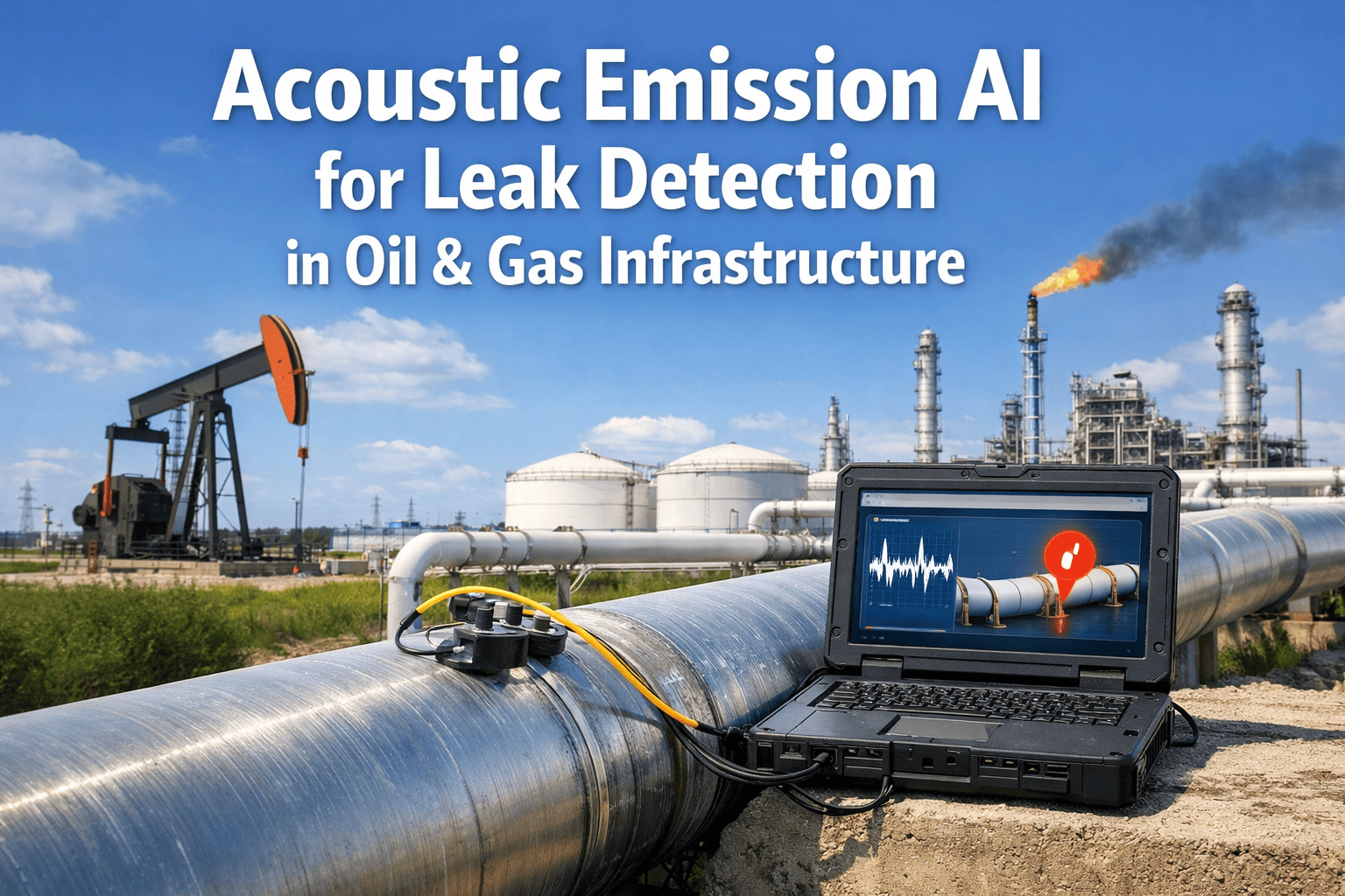
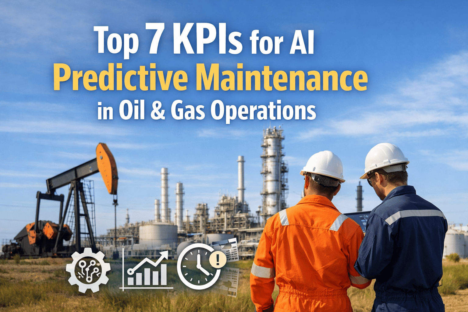
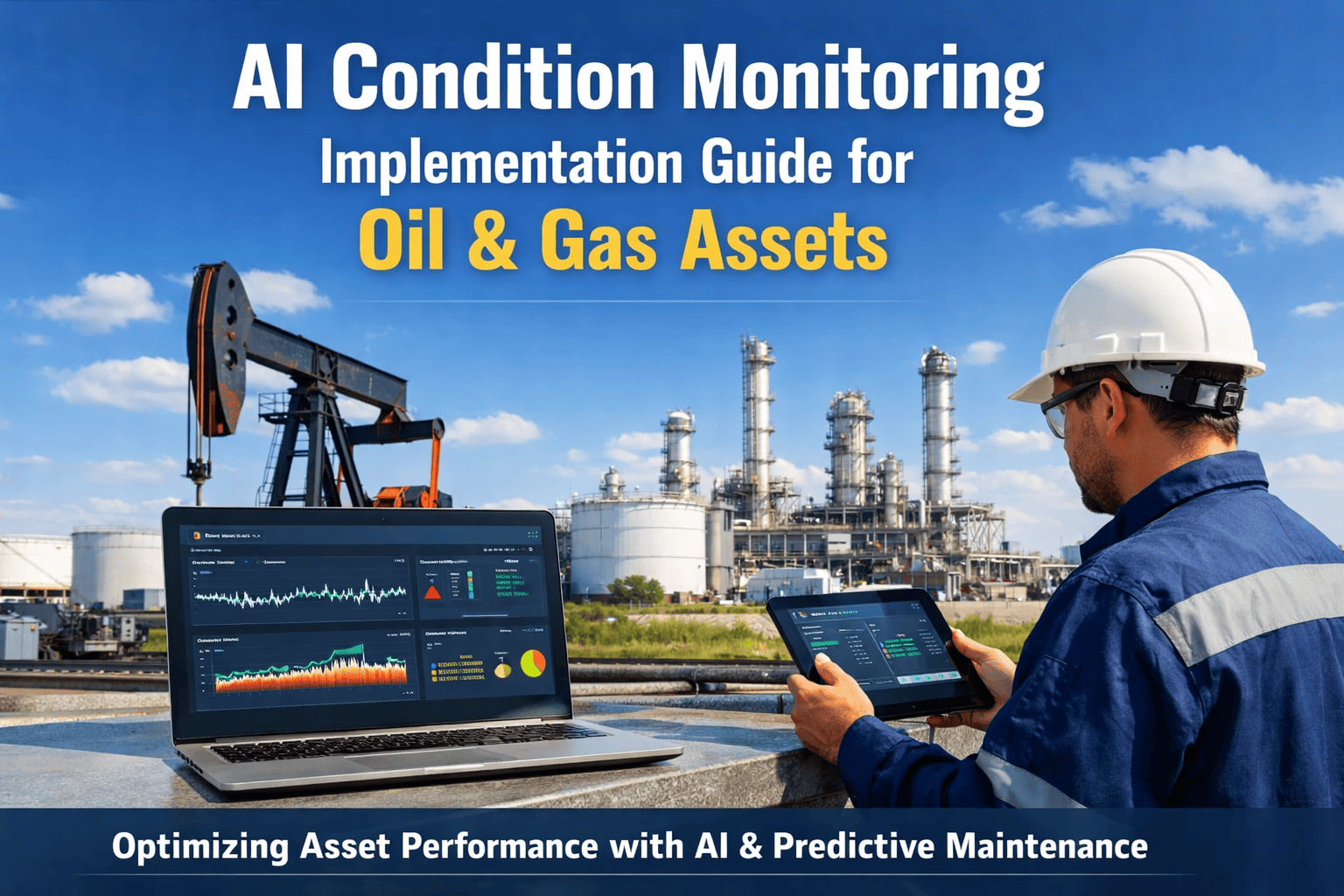
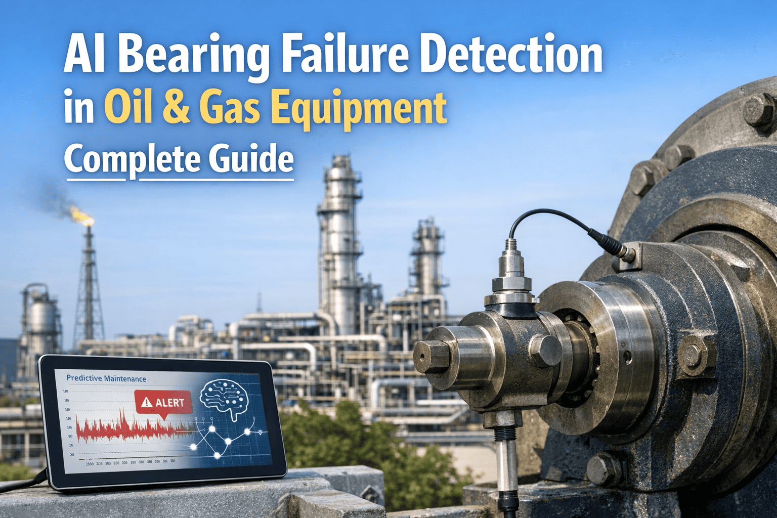
Continue Reading
iFactory's real-time formation boundary prediction and automated steering recommendations maximize reservoir contact while eliminating costly sidetracks and out-of-zone drilling that reduce well EUR, delivering consistent high-quality geosteering decisions 24/7 without human fatigue degradation.