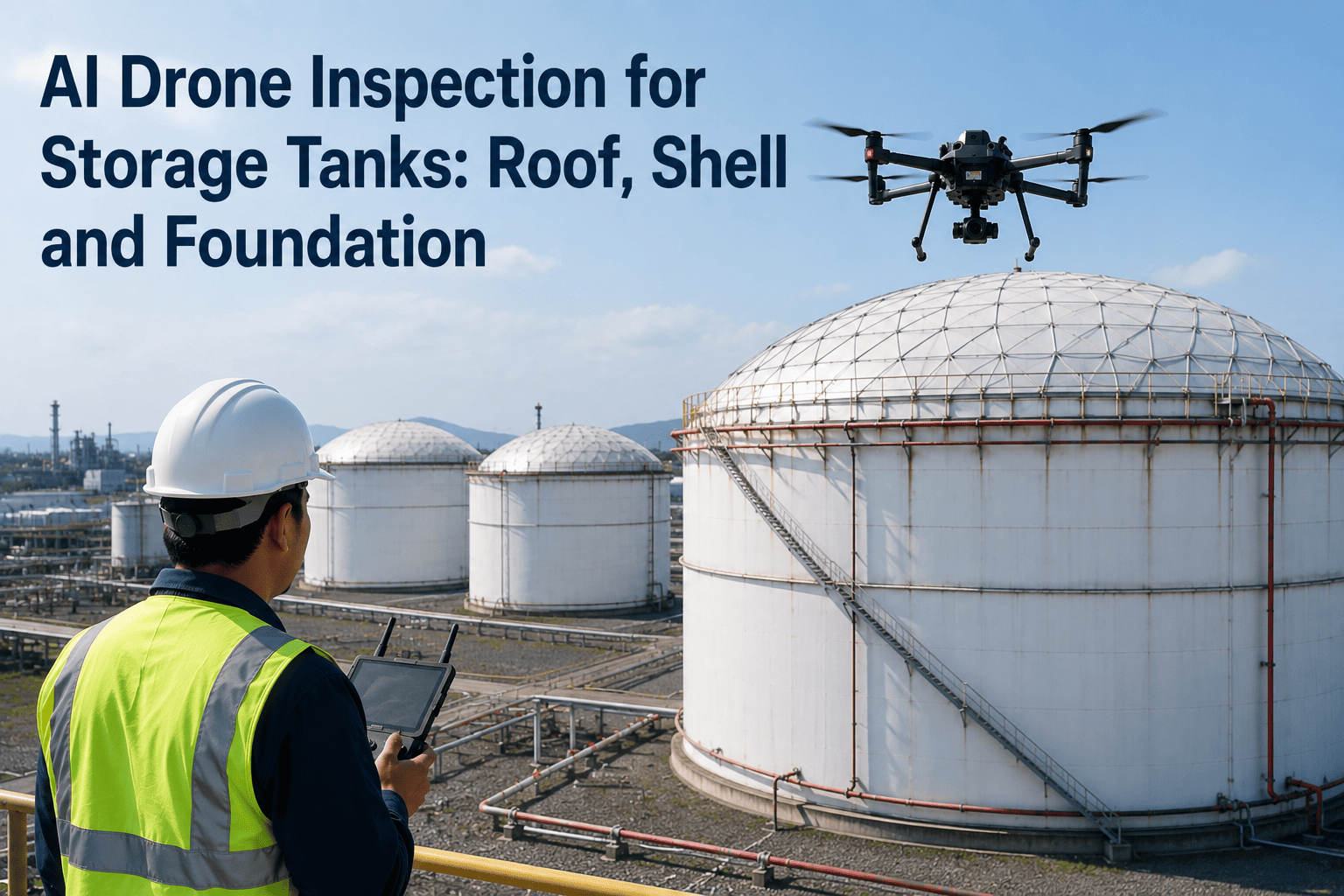
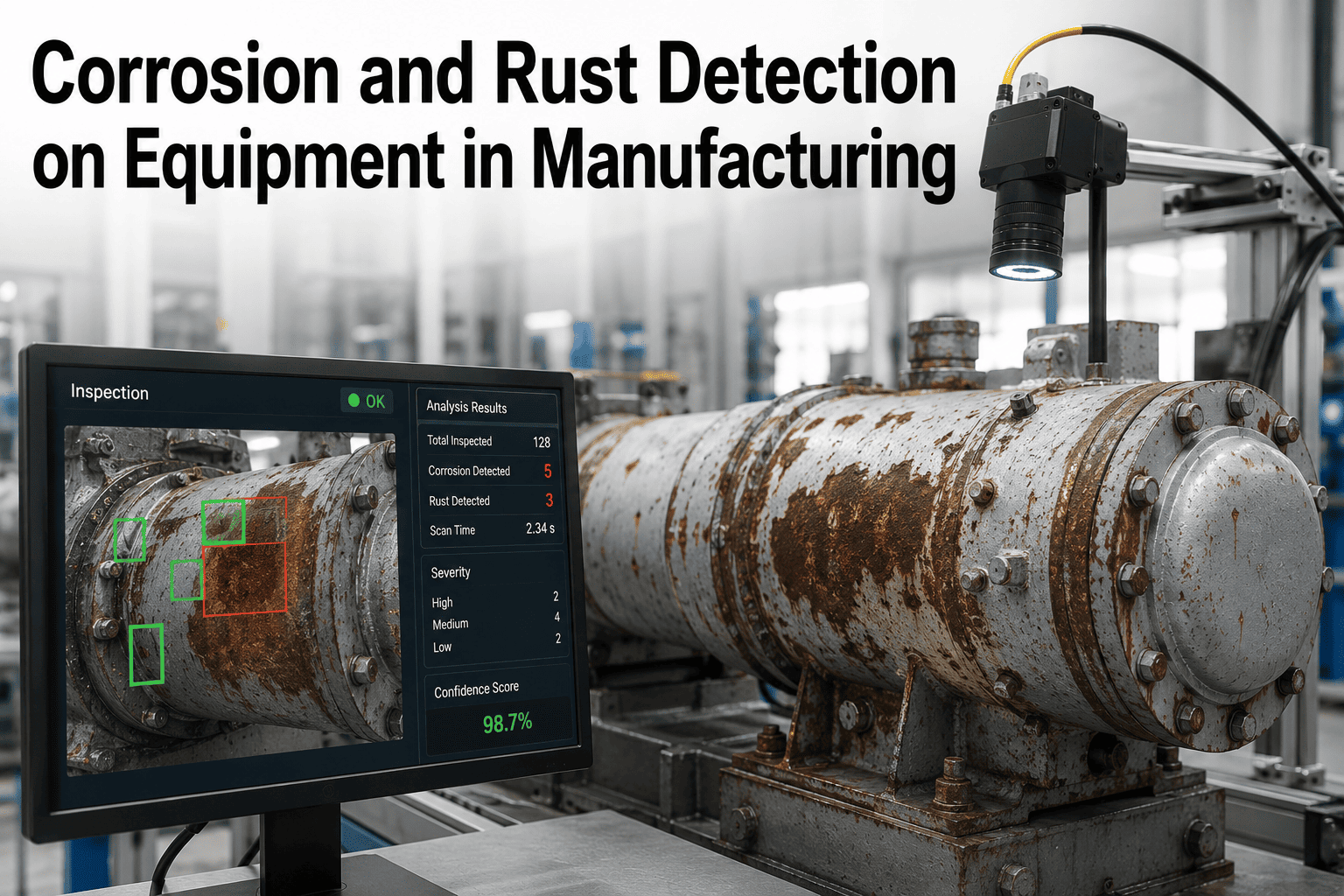
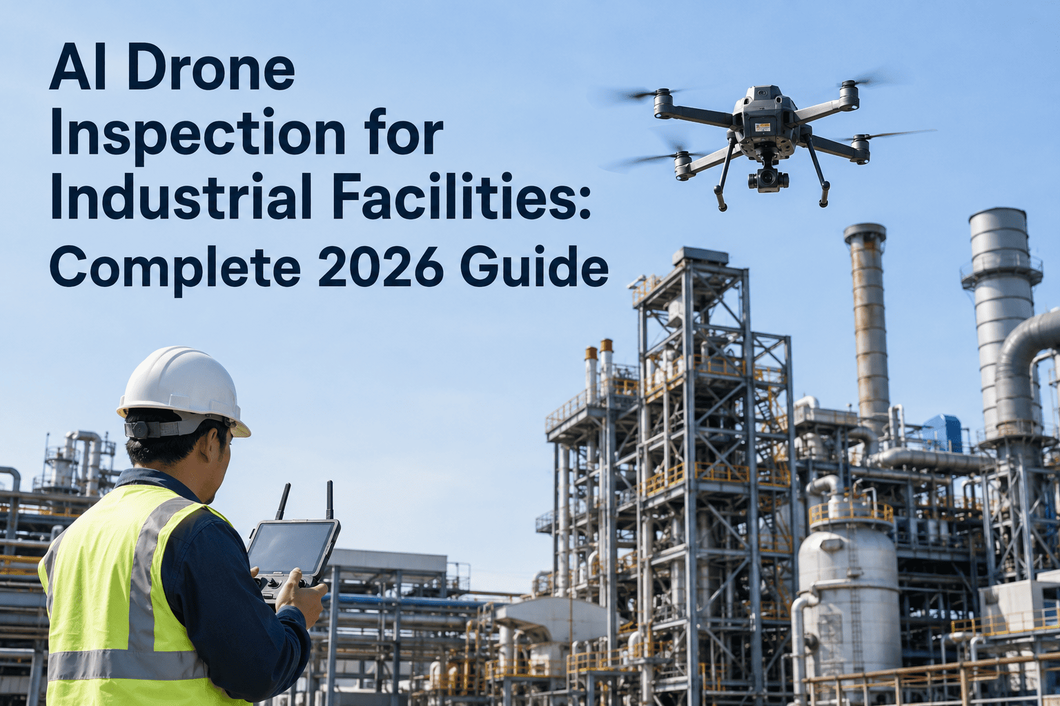
An aboveground storage tank is not one asset — it is three assets bolted together, and each one fails differently. The roof leaks and corrodes from weather and floating-roof seal breakdown. The shell thins from external corrosion and internal chemistry. The foundation settles unevenly, which nobody catches until the shell has already started to distort. API 653 asks you to inspect all three every five years externally and every ten years internally, and doing that with rope access, scaffolding, and internal confined-space entry runs into six figures per tank. A drone with the right payloads and a LiDAR scan captures the same data in a single day — roof from above, shell from every angle, foundation settlement to millimeter precision — while your tank keeps operating and your farm keeps producing. To model the savings across your tank farm, the iFactory support team can build the numbers from your current inspection schedule and tank-by-tank age profile.
API 653 · Storage Tank Inspection
Roof, Shell, Foundation. All Three. One Flight. Zero Confined-Space Entry.
AI drones map tank roof condition, shell corrosion, coating deterioration, and foundation settlement from aerial imagery combined with high-precision LiDAR. Every metric your API 653 inspector needs — without emptying the tank, without a single climb.
$50K+
Saved per tank vs. internal scaffolding
45 min
Per-tank exterior mission time
±1mm
LiDAR settlement precision
8-10
Tanks inspected per day
The Three Zones
Every API 653 Inspection Is Really Three Inspections in One Coordinated Mission
The API 653 standard treats the tank as a system of three inter-dependent zones — roof, shell, and foundation. Each fails in different ways, on different timescales, and used to require different inspection crews. A drone program collapses all three into a single coordinated mission. Here is what the standard actually asks for in each zone, and what the drone captures in a single visit. The reason this matters commercially: traditional inspection contracts often carved these zones into separate line items with separate crews, separate access equipment, and separate scheduling windows. A single drone mission produces the full three-zone dataset in one visit, which is what collapses the cost curve and eliminates the coordination headaches that stretched inspections across weeks.
01
The Roof
Every 5 years external
Aerial Imaging From Directly Above
Tank roofs are the hardest part of the tank to inspect on the ground and the easiest part to inspect from a drone. External floating roof pontoons, seal integrity, roof plate corrosion, coating breakdown, and drain outlet condition are all captured at 20MP+ resolution from directly overhead. Thermal imaging identifies moisture pooling, insulation gaps, and coating adhesion failures invisible to the naked eye. On floating roof tanks the drone documents seal degradation and pontoon deck condition in a way that traditional walkovers of the roof itself cannot match, because the aerial view captures the full roof geometry at once rather than fragment by fragment.
Roof plate corrosion
Floating roof seal integrity
Pontoon condition
Coating breakdown
Drain outlet checks
Moisture pooling
02
The Shell
Every 5 years external
Full-Height Coverage Without Rope Access
Shell inspection is where drone programs pay for themselves fastest. Full 360° coverage from base to top course captured in a single flight, with AI classifying external corrosion patches, coating deterioration, and physical damage by severity. Ultrasonic thickness measurements at grid points deliver the wall thickness data API 653 requires. LiDAR scans generate a millimeter-accurate 3D shell profile, which reveals out-of-roundness and shell distortion long before they become visible. On larger tanks the traditional approach required either full-height scaffolding or extended rope-access work; drone missions eliminate both while producing more complete coverage of the upper shell courses that used to get inspected only in patches.
External corrosion
Pitting and thinning
Coating deterioration
Wall thickness (UT)
Weld seam condition
Shell out-of-roundness
03
The Foundation
API 653 Annex B
Settlement Measured to the Millimeter
This is where LiDAR-equipped drones do something rope-access crews never could. High-precision aerial LiDAR shoots thousands of points around the tank perimeter, generating survey data at API 653 Annex B's required spacing of 31.42 feet or closer. Uniform tilt, differential shell settlement, edge settlement, and localized bottom depressions are all quantified against the standard's acceptance limits. Settlement patterns that used to be caught only after visible distortion are now identified cycles earlier, which shifts foundation intervention from emergency repair to planned maintenance and typically avoids the catastrophic shell-to-bottom weld failures that drive the worst tank incident reports.
Uniform tilt
Differential settlement
Edge settlement
Out-of-plane distortion
Foundation cracking
Ringwall condition
Sensor Stack
What the Drone Carries to Cover a Full API 653 Exterior Inspection
A tank inspection mission is not a single flight with a single sensor. It is a coordinated set of three data collection passes, each with a different payload, running back-to-back on the same visit. Together they produce every metric the API 653 external inspection asks for. Here is the stack. Some smaller tanks or lower-risk assets need only the visual and thermal layers on a routine cycle; larger crude tanks and higher-consequence assets get the full four-payload stack every cycle. The mission planner sizes the sensor stack to the tank rather than running a one-size-fits-all flight, which keeps flight time efficient and cost per tank down.
RGB
High-Resolution Optical
20MP+ visual imagery of every square meter of roof and shell surface. AI classifies corrosion severity, coating breakdown, physical damage, and weld defects. Consistent standoff distance across cycles enables change detection between inspections.
Baseline visual defect layer
IR
Thermal Infrared
Dual optical and infrared camera identifies moisture intrusion, insulation gaps, coating adhesion failures, and internal product level anomalies through the shell. Reveals defects invisible to visual imagery alone, especially on insulated tanks.
Subsurface anomaly layer
UT
Ultrasonic Thickness
Contact NDT probe delivers wall thickness measurements at pre-planned grid points across the shell. Same measurement standard as handheld UT gauges, without the technician at height. Data feeds directly into API 653 remaining-life calculations and gets stored in the defect registry for direct cycle-over-cycle comparison against prior measurements.
Wall thickness measurement
LDR
Aerial LiDAR
High-precision laser scan generates millimeter-accurate 3D point cloud of the tank shell, roof, and foundation perimeter. Enables shell out-of-roundness calculations, settlement pattern analysis, and foundation displacement tracking per API 653 Annex B. The same point cloud persists as an as-built record that supports future engineering evaluations, turnaround planning, and any API 579 fitness-for-service analysis that may be triggered by findings from the settlement calculations.
Geometric and settlement layer
Get a Tank-by-Tank Model of Your Farm's Inspection Spend
iFactory will build a cost-and-timeline projection from your current API 653 inspection contracts, tank count, and diameter distribution. Most operators see the drone program pay back inside a single inspection cycle across the whole farm.
Settlement Analysis
The Four Settlement Types API 653 Annex B Asks You to Track
Foundation settlement is the failure mode nobody catches until it is expensive. Thickness readings do not detect it. Visual inspection misses it until the shell has already distorted, and by then the repair cost has moved from tens of thousands to hundreds of thousands. API 653 Annex B defines four distinct settlement patterns, each with its own calculation method and acceptance thresholds tied to tank diameter. Aerial LiDAR captures all four in a single scan. That last point is what makes drone-collected settlement data qualitatively different from ground-based survey: the point cloud contains enough spatial resolution to run all four calculations from a single dataset, which used to require multiple survey passes and reconciliation between different measurement approaches.
Type A
Uniform Tilt
The entire tank leans as a rigid body. Not immediately dangerous but must be removed from measurements before evaluating out-of-plane deformation. LiDAR quantifies tilt magnitude and direction from the point cloud automatically.
Type B
Differential Shell Settlement
The tank perimeter settles unevenly, creating localized "wrinkles" and stress concentrations on the critical shell-to-bottom weld. This is the most dangerous type — LiDAR maps thousands of perimeter points to catch it long before shell distortion is visible, which is often the difference between a scheduled repair and a shell rupture.
Type C
Edge Settlement
Settlement concentrated at the shell-bottom junction. Threshold acceptance depends on bottom weld orientation — parallel or perpendicular to the shell. Point cloud analysis extracts edge settlement zones without any manual survey.
Type D
Localized Bottom Depression
Bottom plate depressions or bulges remote from the shell. Requires internal inspection to fully characterize, but external LiDAR flags likely locations by cross-referencing shell distortion patterns with ground-level foundation displacement, which lets planners scope internal turnaround work with actual data rather than assumption.
The Numbers Comparison
Traditional API 653 Inspection vs. Drone Mission
The efficiency gains show up on every line of the inspection budget. Below is the honest side-by-side, aggregating published operator data and industry vendor benchmarks across the 2024 to 2026 window. Individual results vary by tank size, coating condition, and inspection scope, but the direction and order of magnitude are consistent. For tank farms with dozens of assets, the compounded savings across a full five-year external inspection cycle typically move from the six-figure to the seven-figure range, which is why operators tend to move fast once they run the numbers on their own portfolio.
Line Item
Traditional Method
Drone Mission
Roof inspection access
Rope access or man-lift
Aerial, no access equipment
Shell coverage
What technician can reach
Full 360°, base to top
Settlement measurement
Manual survey, weeks of prep
LiDAR scan, one flight
Confined-space entry
Required for interior
Eliminated for external
Tanks per day
1 tank, partial coverage
8 to 10 tanks
Downtime for external
Days for scaffolding
Zero, tank stays in service
Cost per tank
$30K to $75K typical
40 to 60 percent lower
Internal scaffolding replaced
$50K+ per tank
Drone RVI for upper shell
The Deliverable
What Your Inspector Actually Gets After the Mission
A drone inspection is not a raw imagery dump. It is a structured API 653 report package that your certified inspector can walk into their formal write-up with. Here is what lands in your CMMS the day after a mission. Everything below is standardized across cycles so year-over-year comparison is direct and quantitative rather than narrative, which is the shift that changes how corrosion rates and remaining-life projections get calculated at your facility.
1
Roof and Shell Condition Map
Every defect classified, severity-ranked, and mapped to a location on the 3D tank model. Corrosion patches, coating breakdown, weld defects, and physical damage all catalogued with imagery, timestamp, and comparison to prior cycles.
2
Ultrasonic Thickness Grid
Wall thickness readings at every planned grid point, cross-referenced against original construction thickness and prior cycle measurements. Corrosion rate calculations and API 653 remaining-life projections generated automatically for each shell course.
3
Settlement Analysis Per API 653 Annex B
LiDAR point cloud reduced to the four settlement types the standard requires — uniform tilt, differential shell settlement, edge settlement, and localized bottom depression. Each type calculated against the acceptance threshold for your specific tank diameter.
4
Change Detection Since Last Inspection
Every defect, thickness reading, and settlement measurement compared automatically to the prior inspection cycle. Corrosion progression rates, coating degradation timelines, and settlement trends surfaced as actionable engineering data rather than raw numbers.
5
CMMS-Ready Work Orders
Approved defects push directly into your maintenance management system as prioritized work orders, complete with imagery, location, severity, and recommended repair method. Your planners see the same data your inspector sees, in the tools they already use.
The Critical Zone
Why the Bottom Three Inches of Your Tank Matters More Than Anywhere Else
API 653 practitioners talk about the "critical zone" — the area of the tank bottom plates within 3 inches of the shell-to-bottom weld. This is where water and debris settle over time, driving severe localized corrosion in the exact spot where structural failure is most catastrophic. Traditional inspection struggled here because access required draining the tank and either sending an inspector inside a confined space or building interior scaffolding.
Modern drone and robotic programs cover this zone from two directions at once. External aerial LiDAR flags shell distortion patterns and edge settlement that indicate critical zone issues before the tank comes out of service. When internal inspection is eventually required, drone-based remote visual inspection captures the upper shell courses, wind girders, and internal rafters that used to demand internal scaffolding — replacing a $50,000-plus scaffolding cost and weeks of downtime with a single day of drone flights inside the tank.
$50K+
Saved per tank by replacing internal scaffolding with drone RVI for upper shell and roof access
Turnkey AI Deployment
How iFactory Ships a Storage Tank Inspection Program
A tank farm drone inspection program is more than software. It is aircraft, payloads, certified pilots, AI defect models trained on tank imagery, LiDAR processing, and integrations to your CMMS and API 653 documentation workflow. iFactory delivers this as a turnkey system so your first tank mission runs inside eight weeks, not the next inspection cycle. The four elements below cover the complete deployment scope — hardware, integration, timeline, and operator experience — so nothing between the drone landing pad and the maintenance planner's screen falls outside the program.
Hardware and Software Bundled
Pre-configured NVIDIA AI server for defect processing ships racked and ready. Drone fleet configured with the RGB, thermal, UT, and LiDAR payloads for your tank farm profile. AI vision models pre-trained on tank defect libraries. Rack it, plug power and Ethernet, and the AI is live.
Full Integration Scope
Network cabling, PLC and SCADA integration, CMMS connector setup, operator training, and 24 by 7 remote monitoring. Everything between the drone landing pad and the maintenance planner's screen — no separate integrator project required.
Live in 6 to 12 Weeks
Three-phase rollout — pilot mission on one tank group in six weeks, full farm coverage by week ten, autonomous inspection loop live by week twelve. Trusted by 1,000+ clients with 99.9 percent uptime across the platform stack.
Operator-Friendly AI
Your maintenance lead types: "Show me shell corrosion progression on tank T-204 since last inspection." The system returns imagery, thickness deltas, and corrosion-rate projections. No computer vision expertise needed to run the program.
Buyer Questions
Storage Tank Drone Inspection — Common Questions
Does drone inspection satisfy API 653 external inspection requirements?
Drone-collected data satisfies the API 653 external inspection scope when the mission delivers the specific data classes the standard requires — visual condition of shell, roof, foundation, appurtenances, and coating; ultrasonic thickness measurements on grid points; and settlement analysis per Annex B. What changes is the delivery method, not the measurement standard. A certified API 653 inspector still signs off on the formal report; the drone program produces the underlying data at a fraction of the cost and time. Regulators increasingly recognize drone-collected data when preserved in an auditable registry with imagery, timestamps, and 3D location.
Book a demo for a walkthrough of the deliverables against the standard.
How does aerial LiDAR compare to ground-based settlement survey?
Ground-based settlement surveys use total stations or manual leveling to shoot perimeter points at the API 653-required spacing of no more than 31.42 feet. Aerial LiDAR shoots thousands of perimeter points in a single scan at millimeter-accurate precision, generating the same or better data density in a fraction of the time and cost. The point cloud enables shell out-of-roundness calculations that manual surveys typically skip because they are too labor-intensive. For tank farms with dozens of tanks, LiDAR is the only practical path to consistent settlement monitoring across the whole farm every inspection cycle rather than sampling.
Can drones replace internal tank inspection, or only external?
External inspection is where drones deliver the biggest replacement value — every five years, tank stays in service, no scaffolding, no rope access. Internal inspection every ten years still requires the tank to come out of service and be cleaned, but drone-based remote visual inspection replaces the internal scaffolding traditionally built to inspect upper shell courses, wind girders, and internal rafters. This alone saves $50,000-plus per tank and eliminates weeks of downtime tied to scaffolding erection and dismantling. Confined-space entry for imaging is eliminated entirely — humans only enter for repair work, not inspection.
Contact support for the internal RVI coverage envelope on your tank configuration.
What tank sizes and types work best with drone inspection?
Drone inspection works across the full range of aboveground storage tank sizes — small vertical tanks under 30 feet diameter, mid-size product tanks in the 60 to 150 foot range, and large crude tanks past 250 feet. Larger tanks actually benefit more from drone programs because the traditional inspection cost scales quickly with height and diameter while drone mission time barely changes. Cone-roof, dome-roof, and external floating roof configurations all work. Internal floating roof tanks require the drone to enter through the manway during out-of-service inspection, which is handled by confined-space-rated aerial platforms with obstacle avoidance.
What is the honest deployment timeline for a tank farm program?
A pilot mission on one tank runs live in about six weeks from kickoff. Full tank farm coverage typically lands between weeks ten and twelve. On your side, we need a technical lead to coordinate site access, someone from IT for the network and CMMS integration piece, and one or two maintenance operators who become day-to-day users of the platform. The turnkey scope includes hardware, software, integration, cabling, PLC and SCADA hookup, and operator training, so the internal effort is coordination rather than building. Most operators recover the program cost inside the first inspection cycle through reduced access equipment, eliminated scaffolding, and the shift from partial to full-coverage documentation.
Every Tank in Your Farm, Fully Inspected, Without Emptying a Single One
AI drone inspection for tank roofs, shells, and foundations — with LiDAR settlement analysis, API 653 Annex B deliverables, CMMS-ready work orders, and zero confined-space entry for imaging. Book a demo to see it running on your tank farm, or contact support for a farm-wide cost model built from your current inspection contracts and tank population profile.