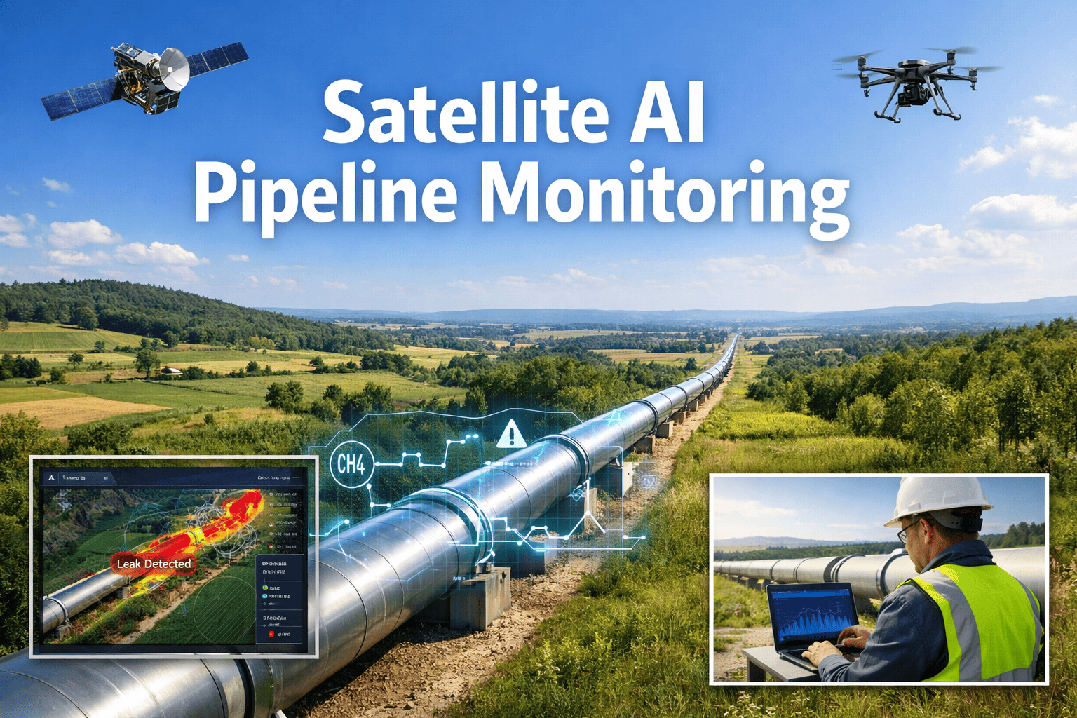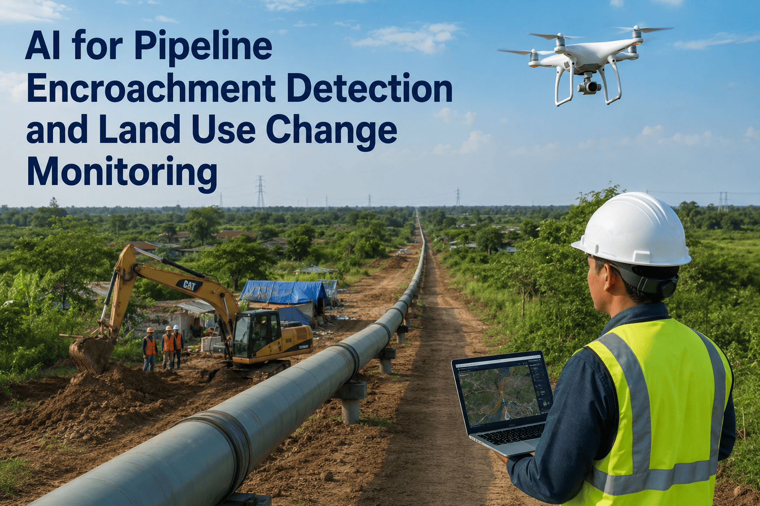
Since 2005, excavation damage alone has caused more than 875 pipeline incidents in the U.S., killing 40 people and costing roughly $322 million in property damage. Almost none of those started as a catastrophe. Most started months earlier as a new structure or a land use change creeping into a right-of-way nobody was watching closely enough to catch in time. Satellite monitoring changes that math, and as of October 2025, PHMSA formally recognizes it as an acceptable right-of-way patrol method. iFactory's land integrity team can show you what that looks like running against your own corridor.
Your Right-of-Way Changes Every Week. Someone Should Be Watching Every Week.
A new foundation slab, a widened farm road, a fence line creeping toward the easement — none of these show up on SCADA. AI-classified satellite change detection flags land use shifts along your entire corridor between patrols, so your land team acts on a real threat instead of discovering one.
Why Encroachment Is a Slow Threat That Gets Treated Like a Sudden One
Nobody builds a structure on a pipeline easement in a single afternoon. Encroachment develops in stages: land gets cleared, equipment gets staged, a foundation goes in, construction proceeds. Every one of those stages is visible from space days or weeks before an excavator bucket gets anywhere near the line. The problem has never been that the information doesn't exist. It's that traditional patrol cadence, walking or flying the right-of-way on a periodic schedule, only catches whatever stage of that build-out happens to be underway on the one day someone looks. By the time a quarterly or even monthly patrol catches a change already underway, the cheapest and easiest intervention point, a conversation before any ground was disturbed, has usually already passed.
From Cleared Ground to Broken Line: How Encroachment Actually Escalates
Every encroachment event a land team eventually has to stop an excavator over started as something smaller and slower, days or weeks earlier, that was fully visible from orbit the entire time. Mapping that progression stage by stage makes clear exactly where the cheap interventions still exist and where they've already closed off.
Find Out What's Already Changing Along Your Right-of-Way
Bring your corridor map and current patrol schedule. We'll show you what satellite-based change detection surfaces on a stretch of pipeline like yours.
What the AI Is Actually Classifying
Satellite change detection doesn't just flag "something is different." A useful system classifies what kind of change it's seeing, because a new fence line and a new foundation slab call for very different responses from a land team. That classification step is what separates a genuinely useful alert from a raw change-detection feed that leaves the interpretation entirely up to whoever opens it.
Periodic Patrol vs. Continuous Change Detection
The regulatory minimum for right-of-way patrol has always been a snapshot cadence: fly or walk the line often enough to catch most problems most of the time. Satellite-based monitoring doesn't replace that requirement, it fills the gap between scheduled looks with a continuous record of what actually changed and when. That gap is often larger than operators assume, since a three-week interval is more than enough time for equipment staging to progress into active grading on a stretch of easement nobody happened to be driving past that week.
| Function | Periodic Patrol Only | AI Satellite Monitoring |
|---|---|---|
| Detection frequency | Whatever the patrol schedule allows | Every satellite revisit, typically days |
| Early-stage clearing or staging | Often missed between patrol dates | Flagged as soon as imagery shows change |
| Documentation for enforcement | Single-date photo or notes | Dated before/after imagery timeline |
| Coverage of remote or difficult terrain | Limited by access and weather | Consistent regardless of ground access |
| Land team dispatch basis | Fixed route regardless of activity | Prioritized by classified change severity |
The Regulatory Shift That Changes the Calculation
Right-of-way patrol requirements have historically assumed physical presence: walking, driving, or flying the corridor at intervals not exceeding three weeks, and at least 26 times a year. That requirement hasn't gone away. What changed is which methods count toward meeting it. PHMSA formally recognized satellite imagery as an acceptable right-of-way patrol method in October 2025, opening a compliance path that didn't exist before. For operators running long, remote, or difficult-to-access corridors, that shift means satellite-based monitoring is no longer just a supplement to the patrol program. It can be a documented, auditable part of the program itself, with a dated imagery record that a physical drive-by never produced in the first place.
This matters most for exactly the corridors where physical patrol is hardest to execute consistently: pipelines crossing agricultural land with seasonal access restrictions, terrain that limits aerial visibility, or stretches long enough that a fixed patrol route inevitably means some segments get less attention than others. Satellite coverage doesn't care about any of that. Every mile gets the same revisit cadence regardless of how difficult it would be to physically reach.
Curious whether your current patrol program already qualifies for satellite documentation credit? Send us your corridor and patrol schedule and we'll map out what changes.
From Detected Change to Land Team Action
A flagged change is only useful if it routes to the right person with enough context to act correctly. The workflow that makes satellite monitoring operationally useful, rather than just another dashboard nobody checks, follows a consistent sequence from detection to resolution.
Why Land Use Change Detection Is Different From Leak or Ground-Movement Monitoring
Satellite pipeline monitoring gets discussed as a single category, but encroachment and land use change detection is a distinct discipline from spectral leak detection or ground subsidence monitoring, even though all three often run on the same imagery feed. Leak detection looks for hydrocarbon signatures and vegetation stress tied to a subsurface release. Ground movement monitoring looks for elevation and displacement changes tied to geohazards like landslides or subsidence. Encroachment monitoring looks for human activity and land use change, which means different imagery analysis, different classification models, and critically, a different response team. A leak alert goes to integrity and operations. An encroachment alert goes to land and right-of-way. Treating all three as one undifferentiated "satellite monitoring" feature tends to mean encroachment alerts either get buried under geohazard noise or never get built with the land-specific classification they need to be useful.
This distinction also matters for how a land team's workload actually gets structured. A land agent responding to a leak alert needs an entirely different skill set and urgency profile than one responding to a new fence line or a widened access road. Bundling every satellite-derived alert into a single undifferentiated queue forces land teams to triage integrity emergencies and routine encroachment questions with the same process, which tends to slow down the response to whichever category arrived first rather than whichever actually needs faster action. Purpose-built encroachment classification keeps that queue clean, so a land team's time gets spent on land questions and an integrity team's time gets spent on integrity questions.
What Makes a Land Team Trust the Alerts
The single biggest determinant of whether satellite encroachment monitoring actually gets used, rather than quietly ignored after the first few weeks, is whether the land team trusts the alerts enough to act on them without re-verifying everything from scratch. That trust gets built two ways. The first is classification accuracy specific to the corridor's own land use pattern, so a wheat field's normal harvest cycle doesn't generate the same alert as a genuinely new structure. The second is giving the land team the evidence, not just the conclusion. A flagged change that arrives with dated before-and-after imagery lets a land agent make their own judgment call quickly, rather than having to take an automated classification on faith or drive out to verify every single alert in person before deciding it's worth acting on.
Operators who get this right tend to start with a narrower alert threshold, tuned deliberately conservative, and widen it over the first several months as the land team builds confidence in what the system is actually catching. Starting broad and immediately flooding a land team with borderline alerts is the fastest way to train people to ignore the system entirely, which defeats the entire purpose of building it in the first place.
Frequently Asked Questions
See What's Changing Along Your Right-of-Way Right Now
Bring your corridor map and patrol schedule. We'll show you what AI-classified satellite monitoring surfaces between your scheduled patrols.