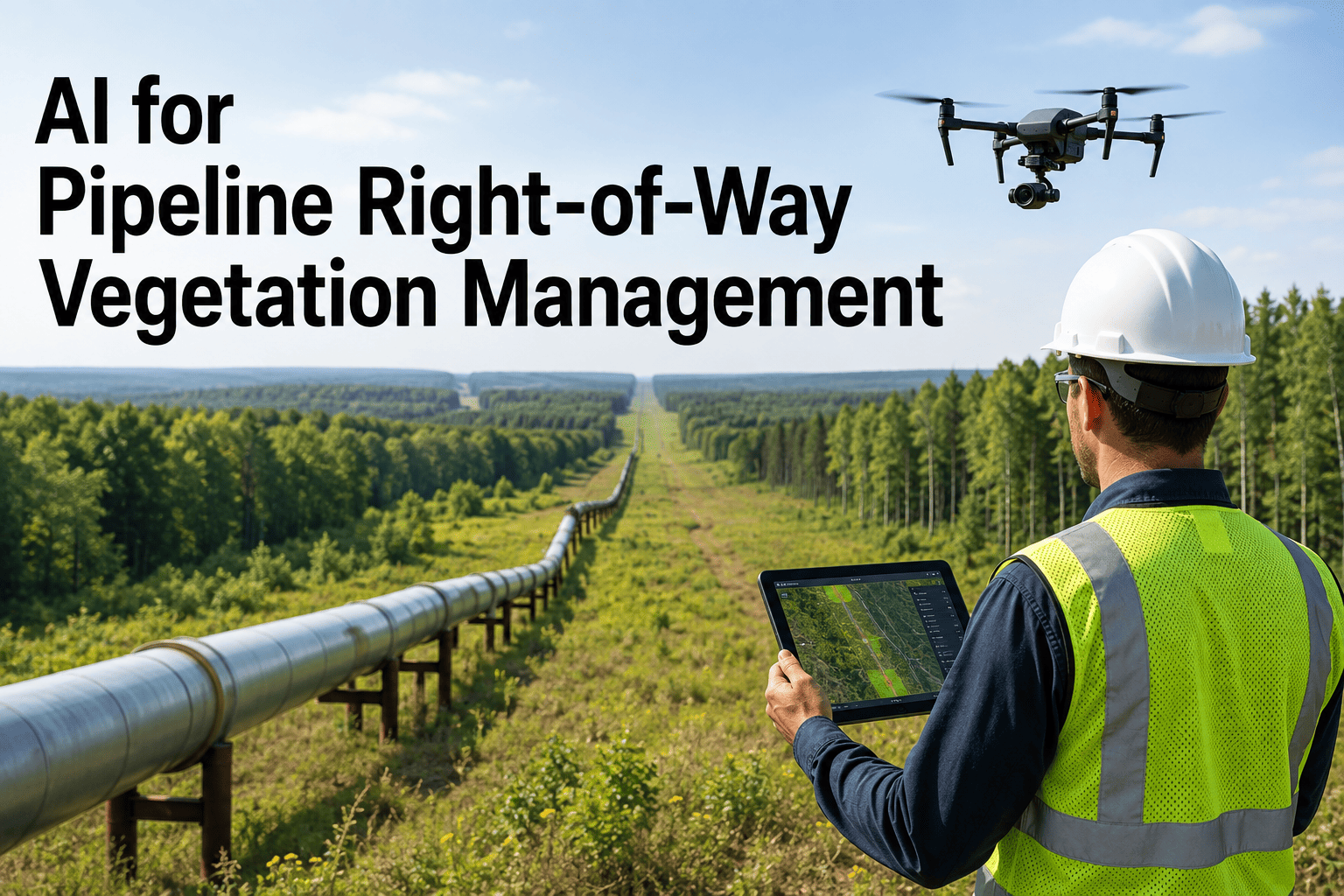
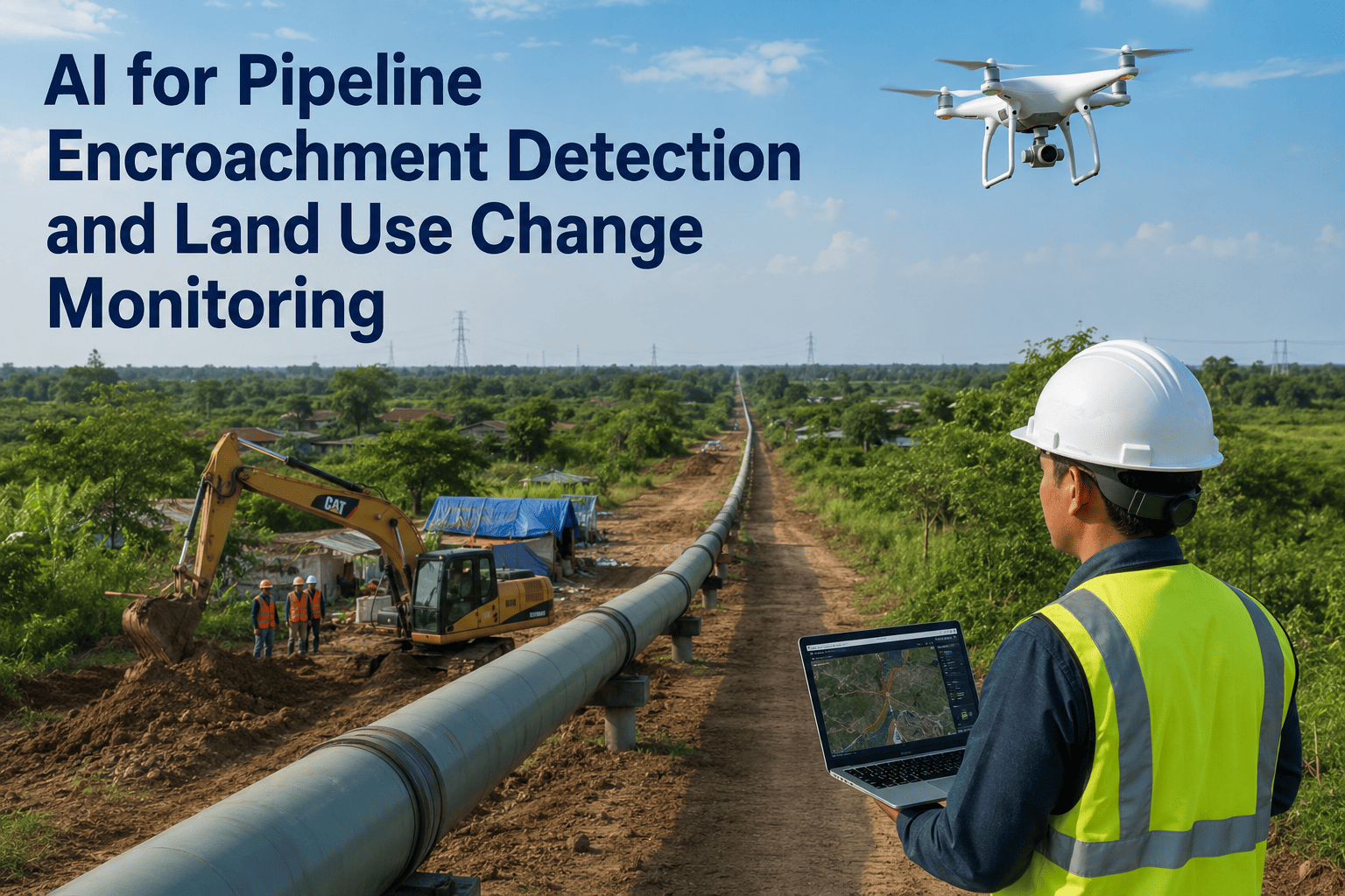
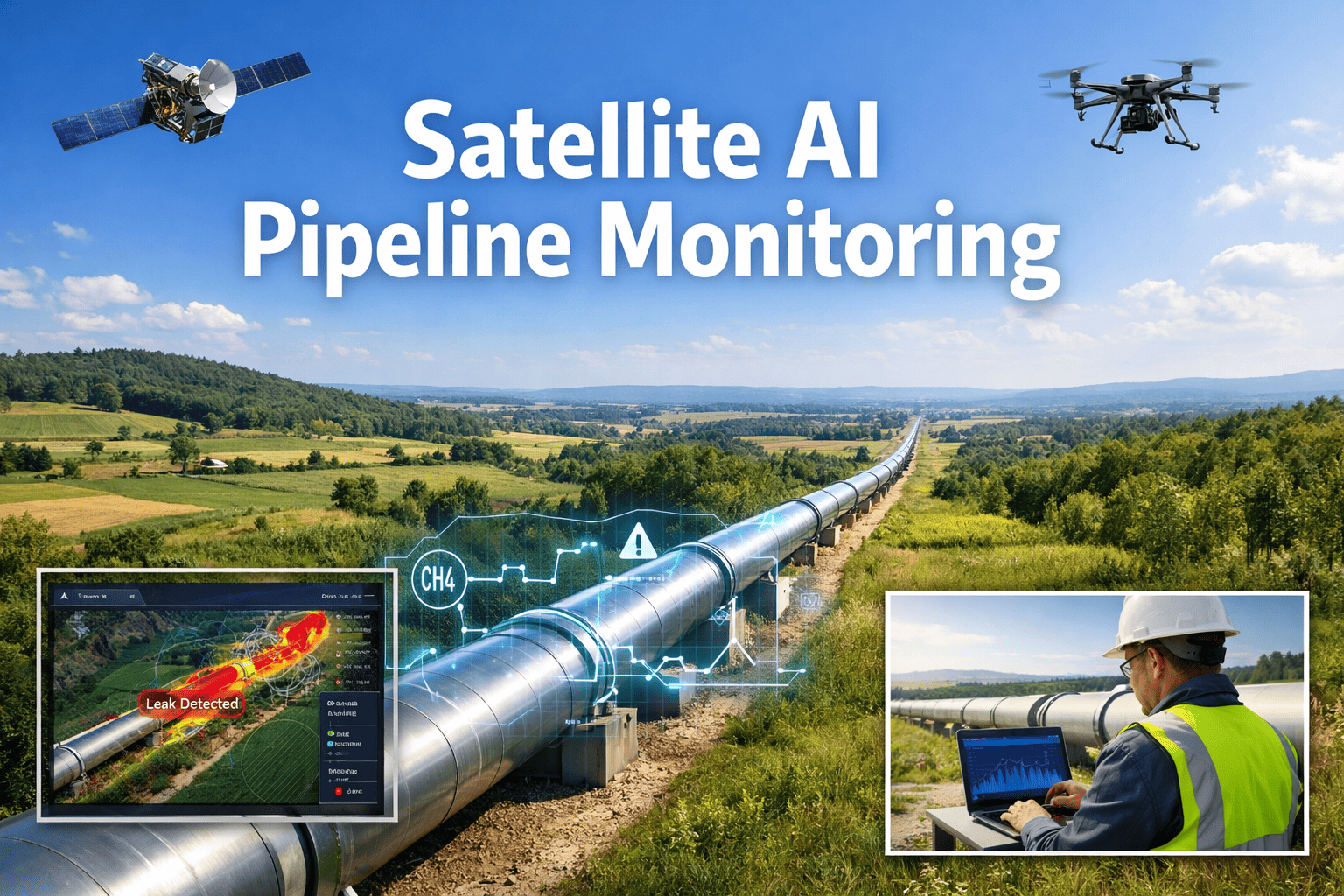
A pipeline right-of-way has one job beyond carrying product: staying visible enough that a patrol, aerial or on foot, can actually see the ground it's supposed to be watching. PHMSA is direct about why that matters, requiring operators to keep the ROW clear enough to spot unauthorized activity, heavy equipment, erosion, and ground disturbance before any of it becomes a third-party damage incident, which remains one of the leading causes of pipeline failures nationwide. The problem is that most networks run thousands of route miles through terrain that changes with every growing season, while patrol schedules and ground crews stay fixed regardless of how fast a tree line closes in or how quickly a washout opens up. A canopy that was clear in spring can be hiding the ROW edge by late summer, and nobody finds out until a scheduled flyover happens to catch it. Satellite-based AI analysis flips that timing by scanning the entire corridor on a consistent cadence instead of waiting for the next patrol window, and a working session with our team can show what that coverage looks like laid over your own route miles.
Environmental AI · ROW Vegetation Monitoring
AI Satellite Monitoring for Pipeline Right-of-Way Vegetation Encroachment
Every mile of corridor scanned on a consistent cycle, flagging canopy encroachment, tree fall risk, and third-party activity so ground crews and aerial patrols go where the risk actually is instead of running a fixed route regardless of what's changed since the last pass.
100%
of route miles scanned per cycle
Weeks
not months, between refreshed scans
4
encroachment categories flagged automatically
The Coverage Gap
A Fixed Patrol Schedule Can't Keep Pace With How Fast Vegetation Actually Changes
Aerial and ground patrols exist to answer a simple question along every foot of corridor: can an inspector actually see the ROW well enough to spot a problem. Most programs run that patrol on a set interval because that's what crews and flight hours allow, not because vegetation growth politely waits for the calendar to catch up. A stretch of corridor bordering a wooded property can go from clear to canopy-closed in a single growing season, and a storm-weakened tree leaning toward the easement doesn't wait for the next scheduled flyover to fall. Between patrol windows, the operator is effectively flying blind on exactly the kind of encroachment the regulation is trying to catch: unauthorized structures, heavy equipment staged too close to the line, root systems working into pipe coating, and washouts that expose the pipe itself. The gap isn't a failure of the crews doing the patrol, it's a structural limit of trying to cover thousands of miles of changing terrain with a fixed number of flight hours and boots on the ground.
What Gets Detected
Four Encroachment Categories a Satellite Pass Catches That a Fixed Schedule Often Misses
Not every threat to a ROW looks the same from above, which is why a useful monitoring system separates canopy growth from structural encroachment from ground disturbance rather than lumping every anomaly into one generic alert. Each category below carries a different urgency and a different response, and knowing which one triggered a flag is what turns a satellite pass into an action a crew can actually schedule.
Canopy Encroachment
Tree lines and brush closing in on the cleared corridor width, gradually blocking the visual line needed for effective aerial and ground patrol.
Tree Fall Risk
Individual trees near the easement showing lean, canopy stress, or storm damage that puts them on a path toward the pipeline or exposed appurtenances.
Third-Party Activity
New structures, staged equipment, or excavation-adjacent disturbance appearing inside or near the easement without authorization on file.
Erosion and Washout
Ground disturbance near stream crossings and slopes that can expose pipe or destabilize the corridor ahead of the next scheduled inspection.
Prioritizing the Response
Not Every Flagged Mile Needs the Same Response This Week
A corridor with thousands of miles cannot be cleared all at once, and treating every flagged segment as equally urgent just spreads a limited clearing budget too thin to matter anywhere. Ranking each flagged segment by how close it sits to the pipeline, how fast the encroachment is progressing, and what kind of encroachment it is turns a long flagged list into a schedule a clearing crew can actually work through in order.
Monitor
Early-stage growth, well within tolerance
Schedule
Approaching clearance limit, next cycle
Prioritize
Near the line, progressing quickly
Dispatch Now
Fall risk or active third-party activity
See Your Corridor Ranked by Actual Encroachment Risk
Most operators have never seen their full route mileage sorted by encroachment severity in one view. A short session shows what that ranked list looks like for your own ROW, built from the latest available scan.
Applied Example
How a Leaning Tree Gets Caught Weeks Before It Would Reach the Line
Consider a wooded segment where a mature tree sits just outside the cleared width, close enough to the easement that a fall in the wrong direction would reach the pipeline corridor. A severe storm passes through the area and weakens the tree's root structure without dropping it, a change that is effectively invisible from the ground until someone happens to walk that exact segment. A satellite pass following the storm picks up the shift in canopy angle and vegetation stress around the base, flagging the tree as an elevated fall risk well before the next scheduled ground patrol would have reached that mile marker. A crew is dispatched to the specific coordinates instead of a general search along miles of corridor, the tree is removed or cabled before the next weather event, and the flagged event is closed out with a location, a cause, and a resolution date attached rather than surfacing as an unexplained incident months later.
Ground Patrol vs Aerial Patrol vs Satellite AI Monitoring
Three Ways to Watch the Same Corridor
Ground patrol, manned aerial patrol, and satellite-based AI monitoring are not competing replacements for each other so much as three layers that cover different gaps, and most mature vegetation management programs end up running some combination of all three. What changes with AI monitoring in the mix is how often the full corridor gets a fresh look and how precisely a crew knows where to go once something changes.
Ground Patrol
Close-up detail on accessible segments, but slow to cover long or remote stretches of corridor.
Manned Aerial Patrol
Covers long distances quickly but only captures a single moment per scheduled flight.
Satellite AI Monitoring
Consistent full-corridor scans between patrols, turning changes into a ranked, dispatchable list.
What's Actually at Stake
Where a Missed Encroachment Actually Costs an Operator
Third-party damage from unauthorized excavation or heavy equipment working too close to a line remains one of the most common causes of pipeline incidents industry-wide, and a ROW that vegetation has quietly closed in around is exactly the kind of corridor where that activity goes unnoticed the longest. Beyond the safety exposure, there's a slower cost that rarely shows up until an integrity dig finds it: tree roots working into pipe coating over years, creating a corrosion pathway that a corridor with clear sightlines and healthy inspection access would likely have flagged for remediation much earlier. And there's the straightforward compliance exposure of a ROW that inspectors find has been unmaintained long enough to obstruct a leak survey, which turns a routine review into a corrective action with a documentation trail attached. None of these costs announce themselves on a fixed schedule, which is exactly the argument for a monitoring cadence that doesn't run on one either.
Vegetation management on a pipeline ROW has always been a resourcing problem more than a technical one. Everybody knows the corridor needs to stay clear, the question has always been how to allocate a limited number of flight hours and clearing crews across a network that's too big to walk end to end every month. What satellite monitoring changes is the starting point for that allocation decision. Instead of clearing whatever segment is next on a rotating schedule, crews go where the imagery actually shows growth closing in or a tree leaning the wrong way, and that shift alone tends to make the same clearing budget cover a lot more of the real risk.
Marisol Ferran-Kwan
Right-of-Way and Vegetation Program Manager · 14 years in pipeline integrity operations
Getting Started Guidance
What to Confirm Before Adding Satellite Monitoring to Your ROW Program
A short readiness check up front shows how quickly a first scan can turn into an actionable clearing schedule.
| Question | Why It Matters |
|---|
| Is the ROW centerline and cleared-width boundary mapped in GIS? | Lets the analysis measure actual encroachment against the correct clearance line |
| How is clearing work currently prioritized across the network? | Shows how a ranked risk list would plug into existing crew scheduling |
| Which segments have the longest gaps between patrols today? | Identifies where continuous monitoring adds the most value first |
| Who reviews flagged encroachment before a crew is dispatched? | Defines the workflow an automated alert needs to route into |
Common Questions
AI ROW Vegetation Monitoring — Frequently Asked
These are the questions integrity and vegetation management teams tend to ask first before adding satellite monitoring to an existing patrol program.
Does this replace required aerial or ground patrols?
No, satellite monitoring works alongside required patrols rather than replacing them, since aerial and ground crews still confirm conditions on the ground and handle the physical clearing work once a segment is flagged. What changes is how much of the corridor gets checked between those scheduled patrols, so a fast-growing or storm-damaged segment doesn't sit unnoticed until the next flight window comes around.
Book a demo to see how the two fit together on an active program.
How often does the corridor actually get rescanned?
Scan frequency depends on available satellite pass cadence and cloud cover in a given region, but the goal is a refresh measured in weeks rather than the months that often separate scheduled aerial patrols on lower-priority segments. Areas already flagged as elevated risk can be prioritized for more frequent rechecks until the underlying issue is resolved.
Contact support to review expected scan cadence for your region.
Can this distinguish a genuine tree fall risk from normal seasonal canopy growth?
Yes, the analysis separates gradual canopy encroachment, which is expected and tracked toward a scheduled clearing cycle, from sudden changes in tree lean or canopy stress that suggest storm damage or root failure, which get flagged for a faster response. Treating those as different categories is what keeps the flagged list useful instead of overwhelming a crew with routine growth.
Book a session to see how the categories are separated in practice.
Does this help demonstrate compliance during a PHMSA or FERC review?
A standing record of scan dates, flagged segments, and clearing dispatch history gives an inspector a documented pattern of ongoing ROW maintenance rather than just the most recent patrol log, which supports the underlying requirement that the corridor stay clear enough for effective surface inspection. Many operators find this recordkeeping becomes one of the more immediately useful parts of adding the monitoring layer.
Ask our team about documentation for your integrity program.
Does this work across mixed terrain, like agricultural land next to wooded segments?
Yes, the same corridor typically crosses very different land uses over its length, and the analysis is built to separate expected seasonal crop cover from genuine woody encroachment or unauthorized structures, rather than flagging every land-use change as a risk. That distinction matters most in mixed-terrain networks where a one-size-fits-all threshold would generate far too many false alerts to be useful.
Book a call to see this applied across your network's terrain mix.
Know Exactly Which Miles of Your Corridor Need a Crew This Week
iFactory scans your full right-of-way on a consistent cycle, ranks every flagged segment by encroachment type and severity, and turns a patrol program built around a fixed schedule into one built around what's actually changing on the ground.