Third-party excavation is not a minor entry in the pipeline incident record, it is consistently the single largest cause of failures across gas and hazardous liquid systems in the United States, ahead of corrosion and material failure combined in many reporting years. An excavator, a trencher, or even routine landscaping equipment operating near a right-of-way without an accurate locate can strike a line in seconds, and the resulting damage is often immediate even when the visible consequence is delayed. Traditional damage prevention still leans heavily on public awareness campaigns and periodic aerial patrol, both useful but neither able to see a piece of heavy equipment approaching the right-of-way in real time. iFactory closes that visibility gap with continuous AI-driven surveillance, and the detection methodology is detailed at iFactory support.
Pipeline Surveillance
AI for Third-Party Damage Prevention on Pipeline Right-of-Way
Third-party excavation remains the leading cause of pipeline failures nationwide. AI-driven distributed acoustic sensing, satellite change detection, and patrol drone surveillance detect heavy equipment activity near the right-of-way before a strike occurs.
#1 Cause
Third-party excavation is the leading cause of onshore gas transmission pipeline incidents
28.4%
Share of all reported onshore gas transmission incidents attributed to third-party damage
50%+
Reported excavation-damage incidents caused specifically by backhoes and trenchers
97%
Classification accuracy demonstrated by fiber-optic sensing combined with AI for identifying excavation-type activity
The Layered Right-of-Way Defense Model
Detecting a Threat Before It Reaches the Pipe, Not After
Effective third-party damage prevention does not rely on a single detection method. It layers surveillance across three concentric zones around the pipeline, so a threat approaching from any distance is picked up by at least one system before it becomes a strike.
Outer Zone
Wide-Area Change Detection
Miles from the pipeline, corridor-wide
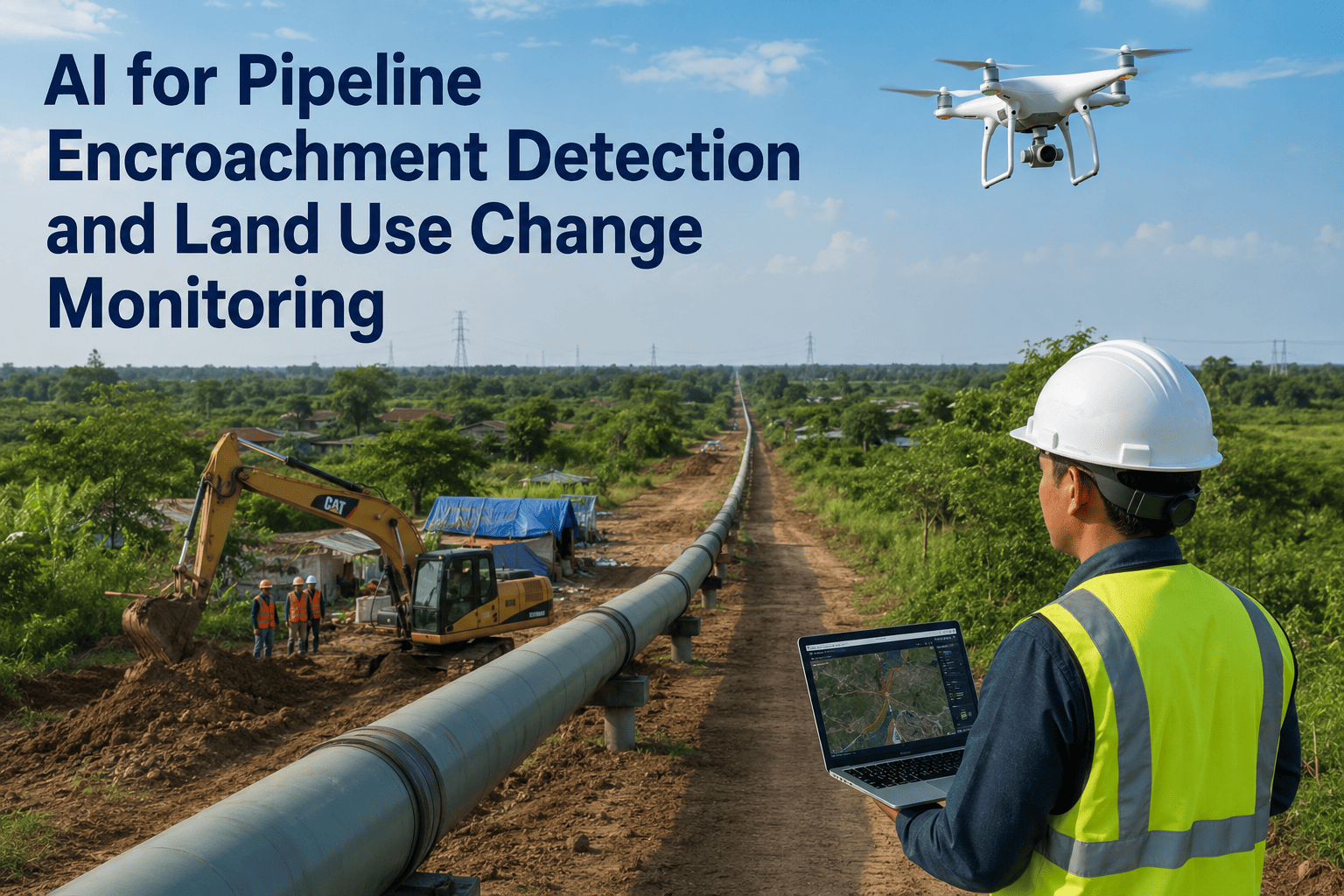
Satellite and high-altitude imagery analyzed by AI to flag new equipment staging, ground disturbance, or vegetation clearing anywhere along the corridor between scheduled patrol flights, catching activity that traditional periodic aerial patrol would miss between passes.
Middle Zone
Patrol Drone Verification
Hundreds of feet, targeted response
Automated drone flights dispatched to a flagged location from the outer zone, using AI-based object recognition to distinguish authorized maintenance crews and locate marks from unauthorized excavation equipment, reducing false-alarm dispatch of ground crews.
Inner Zone
Distributed Acoustic Sensing
Feet from the pipeline itself, continuous
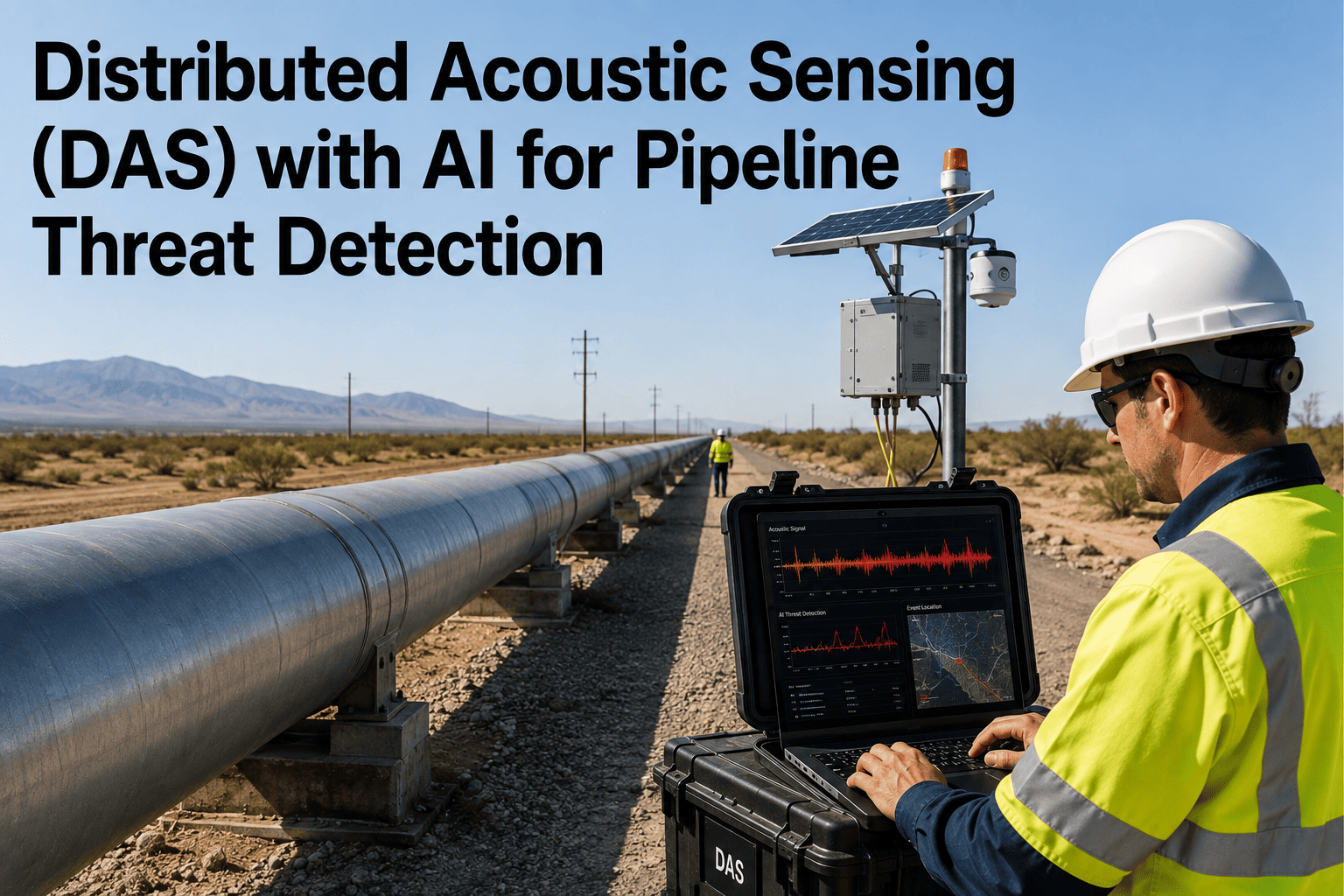
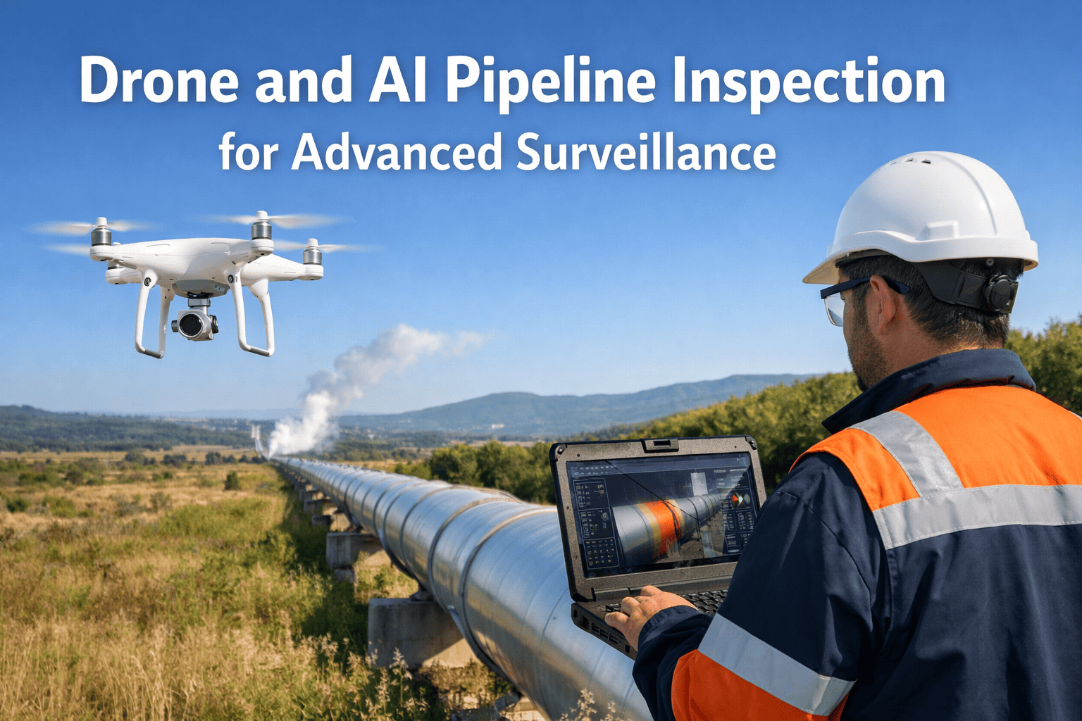
Fiber-optic cable running alongside or on the pipeline converted into a continuous vibration sensor, with AI classification models trained to distinguish digging, foot traffic, and machinery from background noise in near real time, giving the last line of detection before contact.
What the Data Actually Shows
The Excavation Activity Types Behind Most Strikes
01
Unlocated Excavation
Digging performed without a locate request through the one-call system, whether from unfamiliarity with the requirement or intentional bypass of the process entirely.
02
Locate Marking Errors
A locate request was placed correctly, but the marked location was inaccurate, outdated, or misinterpreted by the excavation crew on site.
03
Excavation Off the Marked Line
The correct locate was performed and marked, but the excavation equipment operated outside the marked tolerance zone, often during machine backfilling or grading work.
04
One-Call Notification Gaps
A locate request was never submitted at all, frequently associated with agricultural, landscaping, or small residential excavation that operators mistakenly believe falls below the notification threshold.
By the Time a Damage Prevention Program Learns About a Strike, the Excavation Equipment Has Already Left the Site.
iFactory's layered AI surveillance is built to flag the equipment approaching your right-of-way before it breaks ground, not to document the incident after it happens.
From Detection to Intervention
What Happens Once the System Flags an Activity
Stage
Trigger
System Action
Typical Response Time
Detection
Acoustic signature or imagery matches an excavation activity pattern
Event logged, confidence score assigned
Seconds
Classification
AI model distinguishes digging from foot traffic, wildlife, or authorized crews
Low-confidence events filtered from alert queue
Seconds to minutes
Verification
High-confidence excavation-type event confirmed near the right-of-way
Drone dispatched or nearest camera feed pulled for visual confirmation
Minutes
Escalation
Unauthorized activity confirmed within right-of-way boundary
Alert routed to control room and local field response team
Minutes
Documentation
Event resolved, whether false alarm, near-miss, or confirmed intrusion
Full event record logged for damage prevention program reporting
Immediate
Field Example
A Regional Gas Transmission Operator Catching a Strike Before It Happened
A regional gas transmission operator managing several hundred miles of right-of-way through mixed rural and developing suburban land had been relying on scheduled aerial patrol supplemented by landowner and public awareness reporting, a program that historically identified encroachments only after significant ground disturbance had already occurred. New residential and commercial development along several corridor segments was increasing the frequency of excavation activity near the right-of-way, much of it from contractors unfamiliar with the exact easement boundaries.
iFactory deployed distributed acoustic sensing along the highest-risk corridor segments paired with satellite change detection across the full right-of-way and automated drone dispatch for verification. Within the first four months of operation, the system flagged an excavation crew operating a trencher within the marked easement for a fiber utility installation that had crossed closer to the gas line than its locate had accounted for, triggering a drone verification and field response that stopped the work before contact. The operator's damage prevention team has since used the continuous corridor monitoring data to identify three additional development projects approaching the right-of-way early enough to proactively engage the contractors before excavation began.
1 strike prevented
Trencher stopped before contact via verified detection
4 months
Time to first confirmed intervention after deployment
3 projects
Additional developments proactively engaged before excavation
The True Cost of a Strike
Why Prevention Is Cheaper Than Every Alternative
The financial case for third-party damage prevention rarely needs much dressing up once the historical incident data is laid out. A relatively small number of strikes accounts for an outsized share of total pipeline incident cost.
$11.4B
Total cost of pipeline incidents reported to PHMSA over a recent 20-year period
318
Significant excavation-caused incidents over a single five-year reporting window
$1.9B
Direct and indirect cost attributed to those excavation-caused incidents alone
27 Fatalities
Lives lost across that same five-year window of excavation-related incidents
Program Design
Building a Modern Damage Prevention Program Around Continuous Surveillance
01
Baseline the Corridor
Establish the current encroachment and development risk profile across every right-of-way segment before deciding where continuous sensing versus periodic patrol makes the most operational sense.
02
Layer Detection by Risk Tier
Reserve continuous acoustic sensing for the highest-risk segments near active development, while lighter-weight satellite change detection covers lower-risk rural stretches cost-effectively.
03
Define Escalation Ownership
Every detection tier needs a named team responsible for verification and field response, so a flagged event moves through classification and escalation without sitting unassigned in a queue.
04
Close the Loop With One-Call Data
Cross-referencing detected activity against active locate requests lets the system distinguish authorized, notified excavation from activity that never went through the one-call process at all.
Frequently Asked Questions
What Pipeline Integrity and Damage Prevention Teams Ask First
How does distributed acoustic sensing tell the difference between digging and normal ground activity?
The fiber-optic cable running along or near the pipeline picks up vibration signatures from any activity nearby, and the AI classification model is trained on labeled samples of excavation equipment, foot traffic, vehicle movement, and background environmental noise to distinguish between them. Research using convolutional neural network classification on this type of acoustic data has demonstrated accuracy exceeding 97 percent in distinguishing genuine excavation-type events from other activity, which is what keeps the alert stream focused on real threats rather than flooding a control room with noise from routine corridor activity.
Does this replace the one-call locate process, or work alongside it?
It works alongside the one-call and locate process rather than replacing it, since one-call notification and accurate locating remain the primary prevention mechanism for planned excavation work. The AI surveillance layer exists specifically to catch the gaps in that process, namely excavation performed without a locate request, activity that strays outside a marked tolerance zone, and locate marking errors, all of which continue to account for a significant share of reported strikes even at operators with mature one-call compliance programs.
What kind of right-of-way is this most cost-effective for?
Segments passing through developing suburban areas, active construction zones, or land with a history of encroachment incidents tend to see the fastest return, since these are exactly the areas where third-party excavation activity is both most frequent and hardest to fully control through public awareness alone. Remote rural segments with minimal nearby development activity may be adequately served by lighter-weight satellite change detection alone, while a full layered deployment with continuous acoustic sensing is typically reserved for higher-risk corridor segments.
How does the system avoid excessive false alarms from wildlife, weather, or authorized crews?
The classification stage of the detection pipeline is specifically built to filter out the activity types that generate the most false positives in raw acoustic or imagery data, including animal movement, wind-driven vegetation noise, and routine authorized maintenance crews whose schedules and equipment are known to the system. High-confidence events are the only ones escalated for drone verification or field response, which keeps the alert volume manageable for a control room team rather than training operators to ignore alerts. For a walkthrough of alert tuning specific to your corridor's activity patterns,
book a demo.
What infrastructure does an operator need before deploying this?
Distributed acoustic sensing requires fiber-optic cable along the pipeline route, which some operators already have installed for telecommunications or SCADA purposes and can repurpose, while others need new fiber run as part of the deployment. Satellite change detection and drone verification layers can typically be stood up independently of existing fiber infrastructure, making them a practical starting point for operators evaluating a phased rollout. Reach out through
iFactory support to assess what your existing corridor infrastructure supports.
Stop Learning About a Strike After the Excavator Has Already Left.
Layered AI surveillance across your entire right-of-way, detecting third-party excavation activity before it becomes a reportable incident.