Most of a pipeline's route runs through ground an integrity team controls and can inspect on a normal schedule, but every crossing — a river, a highway, a railway, or a horizontal directional drill bore — sits in ground the pipeline doesn't fully control, exposed to forces the rest of the route never sees: scour, traffic loading, third-party excavation, and casing conditions that shield cathodic protection current from ever reaching the pipe. Crossings make up a small percentage of total route length but carry a disproportionate share of pipeline integrity risk, which is exactly why they get their own inspection strategy rather than being folded into a standard route survey. This guide breaks down river, road, railway, and HDD crossings by their specific exposure risks, the depth of cover survey methods used to check each one, and how a risk-based inspection interval should be set per crossing type rather than applied uniformly across the whole pipeline. Teams managing a network with multiple crossing types can book a 30-minute demo to see how iFactory tracks crossing-specific inspection history and depth of cover trends against a live pipeline asset map.
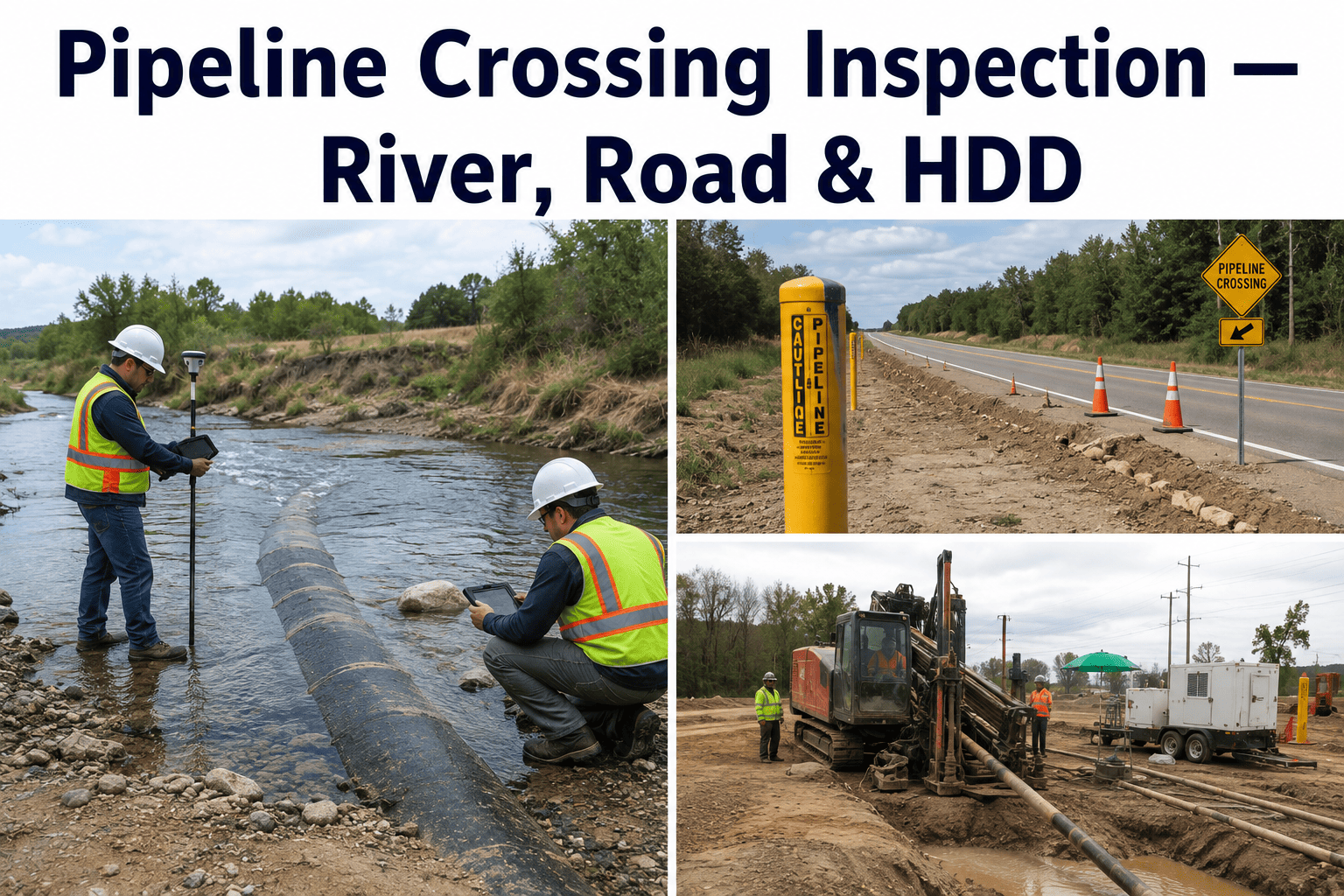
Pipeline Crossing Inspection — River, Road, Rail & HDD
How exposure risk, depth of cover, and inspection strategy differ across river, road, railway, and horizontal directional drill crossings, and how to build a crossing-specific integrity program instead of treating every crossing the same way.
Why Crossings Carry Disproportionate Risk
A buried pipeline running through open, undisturbed right-of-way sits in ground conditions that stay relatively stable and are largely under the operator's own control. A crossing changes that equation on every dimension at once: the surrounding ground is disturbed by construction, the pipe is exposed to loads it doesn't carry anywhere else on the route, and — in the case of road, rail, and river crossings — third parties who have no visibility into the pipeline's location are actively operating on top of or across it every day. That combination of concentrated load exposure and reduced operator control is why crossings need their own inspection category rather than being evaluated on the same schedule as open right-of-way.
Crossing Types and Their Specific Exposure Risk
River and Waterway Crossings
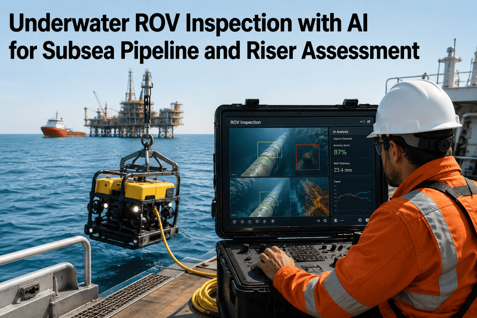
The primary threat is scour — the riverbed eroding over time and reducing the depth of cover above the pipe until it becomes exposed to current, debris impact, and anchor strikes. Scour rates change with flood events, upstream construction, and seasonal flow, so a crossing that had adequate cover at installation can lose it entirely after a single major flood.
Road and Highway Crossings
Traffic loading — especially repeated heavy vehicle axle loads — applies cyclic stress to the pipe and surrounding soil that open right-of-way never experiences. Cased road crossings introduce an additional risk: the casing can shield cathodic protection current from reaching the carrier pipe, creating a corrosion blind spot the rest of the CP system can't see.
Railway Crossings
Rail crossings combine the same CP shielding risk as cased road crossings with heavier point loads from rail traffic and stricter regulatory oversight, since railway right-of-way owners typically require their own permitting, casing specifications, and periodic inspection reporting independent of standard pipeline regulations.
Horizontal Directional Drill Bores
HDD installation pulls the pipe through a drilled bore rather than an open trench, which means coating damage during pullback is a real risk that's difficult to inspect directly afterward, and the annulus between the pipe and the bore wall can create its own CP shielding condition depending on the geotechnical material the bore passes through.
Depth of Cover — The Number That Drives the Whole Inspection
Establishes horizontal alignment quickly across long crossing sections; typically paired with a separate depth confirmation method rather than used alone for vertical clearance.
Non-invasive vertical depth estimation without excavation; effectiveness varies with soil type and can be limited in wet or highly conductive ground.
The most accurate depth of cover confirmation available, used to validate indirect survey readings or investigate a location where scour or subsidence is suspected.
Used specifically at river and waterway crossings to map riverbed elevation over time, tracking scour trend directly rather than inferring it indirectly.
Risk Assessment by Likelihood and Consequence
| Crossing Type | Primary Likelihood Driver | Primary Consequence Driver |
|---|---|---|
| River / waterway | Scour rate, flood frequency, riverbed material | Waterway sensitivity, downstream population, spill containment difficulty |
| Road / highway | Traffic volume, axle loading, casing condition | Population density along the corridor, emergency response access |
| Railway | Rail traffic frequency, casing CP shielding status | Regulatory exposure, rail right-of-way owner liability terms |
| HDD bore | Coating damage risk during pullback, annulus CP shielding | Depth of installation typically reduces third-party consequence exposure |
A crossing's inspection interval should be set from this likelihood-and-consequence combination rather than a flat calendar schedule applied to every crossing type equally — a high-consequence river crossing with an active scour trend deserves a materially shorter interval than a low-traffic road crossing with a documented stable casing.
Crossing-Specific Integrity Strategies
River crossings
Pair periodic bathymetric surveys with a documented minimum cover threshold, and trigger an out-of-cycle survey after any flood event above a defined flow threshold rather than waiting for the next scheduled inspection date.
Cased road and rail crossings
Test for CP shielding specifically at the casing rather than relying on a general route CP survey, since a casing short or shielding condition can exist locally while the rest of the CP system reads normal.
HDD bores
Since direct post-installation coating inspection is difficult, rely on pre-installation coating quality control, pull-force monitoring during installation, and close-interval survey once the bore is in service to catch a coating fault indirectly through its corrosion signature.
All crossing types
Maintain a documented depth of cover baseline at installation and compare every subsequent survey against that baseline rather than only the previous survey, so a slow multi-year cover loss trend doesn't get missed by comparing only adjacent readings.
Frequently Asked Questions
How is a river crossing's inspection interval different from an open right-of-way segment?
A river crossing's interval is typically driven by scour trend and flood exposure rather than a flat calendar schedule, since cover loss at a river crossing can happen suddenly during a single flood event rather than gradually over years. Many operators pair a routine scheduled bathymetric survey with a trigger-based out-of-cycle survey requirement whenever flow exceeds a defined threshold, so the inspection responds to the actual risk event rather than waiting for the next calendar date. Contact iFactory Support for help setting up flood-triggered inspection alerts tied to river crossing locations.
Why does a cased crossing need a separate CP shielding test instead of relying on the route's normal CP survey?
A casing around the carrier pipe can physically block cathodic protection current from reaching the pipe surface inside the casing, creating a localized corrosion blind spot even when the rest of the pipeline's CP system reads within normal protective range. Because this shielding condition is local to the casing, a route-level CP survey that samples at typical intervals can easily miss it, which is why cased crossings need a targeted test specifically at the casing location rather than an inference from nearby readings.
Can coating damage from HDD pullback be inspected directly after installation?
Not easily — once the pipe is pulled through a drilled bore, there is no direct visual or physical access to the coating the way there is with an open-trench installation. This is why HDD coating integrity relies more heavily on pre-installation quality control and pull-force monitoring during the pullback itself, combined with close-interval survey once the bore is in service, since a coating fault will eventually show up as a localized corrosion signature that indirect survey methods can detect. Book a demo to see how pull-force and post-installation survey data can be tracked against a specific HDD bore record.
What depth of cover survey method is most accurate for confirming an actual clearance number?
Direct exposure through potholing or vacuum excavation gives the most accurate depth of cover confirmation available, since it physically measures the clearance rather than inferring it from a radar or locating signal. Indirect methods like ground penetrating radar and GPS-based locating are faster and non-invasive, which makes them well suited for routine surveys across long crossing sections, but a suspected cover loss finding from an indirect method should generally be validated with direct exposure before it drives a repair decision.
Should every crossing on a pipeline network be inspected on the same schedule?
No — treating every crossing type identically ignores the fact that likelihood and consequence drivers differ significantly between a river crossing with an active scour trend, a cased road crossing with unknown CP shielding status, and a deep HDD bore with low third-party exposure. A risk-based approach that sets inspection interval from each crossing's specific likelihood and consequence profile catches high-risk crossings faster while avoiding unnecessary survey spend on lower-risk ones, which is a better use of a limited inspection budget than a flat calendar applied network-wide.
Crossings carry the most concentrated risk on the route — inspect them that way.
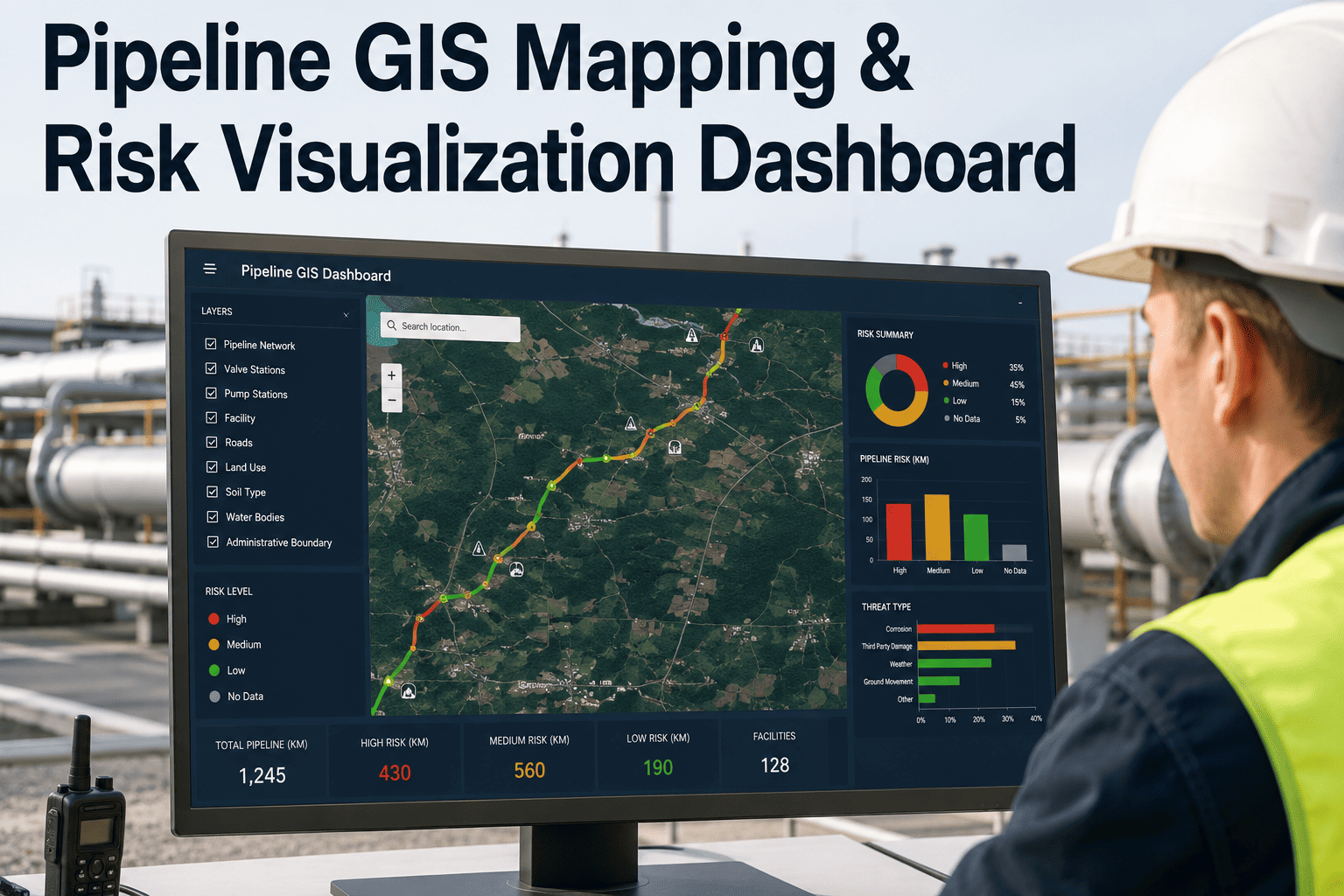
iFactory ties depth of cover surveys, CP shielding checks, and crossing-specific inspection history to every river, road, rail, and HDD crossing on a live pipeline asset map, so risk-based inspection intervals are set from real data instead of a flat calendar. A 30-minute demo builds a live view against your own crossing inventory.