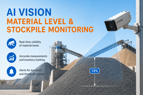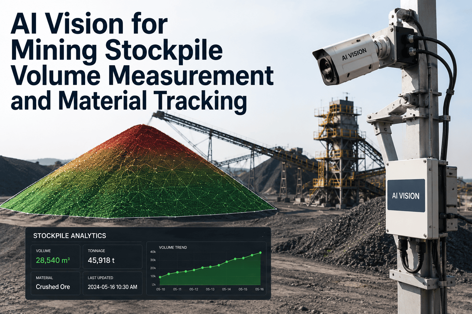
A stockpile survey used to mean a person walking onto an unstable pile of loose material with a GPS rover, or scheduling a full aerial photogrammetry flight and waiting hours for desktop software to process the result. Neither option works well when finance needs weekly inventory numbers across a dozen piles, and neither one catches the moment a stockpile's actual volume starts drifting away from what the fleet management system says was delivered. AI-guided drone and fixed-camera measurement now calculates stockpile volume automatically, cross-references it against material movement records, and flags a reconciliation gap before it becomes a line item nobody can explain at month end, and you can book a demo to see it running against your own stockpile inventory.
Stop Guessing What Is Actually in the Pile
Stockpile inventory sits on the balance sheet as a real financial asset, yet most operations still measure it with methods that carry five to fifteen percent error. iFactory's AI vision platform calculates stockpile volume from drone or fixed-camera data, converts it to tonnage, and reconciles it against your fleet and weighbridge records automatically.
A Small Measurement Gap Becomes a Real Financial Swing
Stockpile volume looks like an operational detail until it shows up on a balance sheet. Mining operations carry ore and material inventory as a current or long-term asset, valued at cost or net realizable value, and that valuation depends entirely on how accurately the pile was measured and converted to tonnage. A density assumption that shifts from 1.60 to 1.55 tonnes per cubic meter on a 50,000 cubic meter stockpile creates a swing of roughly 2,500 tonnes in reported inventory, and that is before accounting for the underlying volume measurement error itself.
Traditional ground-based surveying, walking a stockpile with a GPS rover or total station, typically carries an error margin in the range of five to fifteen percent, largely because uneven access, unstable footing, and the sheer size of large piles make comprehensive coverage difficult to achieve consistently. That error compounds across a facility running multiple stockpiles and reporting cycles, and even a modest volume error across several piles adds up meaningfully over a financial year, with effects that reach sales contracts, cash-flow forecasting, and financial reporting compliance.
The deeper problem is that reconciliation discrepancies rarely stay contained to a single number on a single report. When a mine's claimed production does not match what the mill or yard reports, the ambiguity spreads into revenue recognition, since stakeholders need a defensible answer for which figure is correct when the mine and the processing plant tell two different stories about the same tonnage. Inventory valuation becomes similarly uncertain, because stockpiles throughout an operation are carried on the books at cost or net realizable value, and a systematic measurement error undermines confidence in that valuation long before anyone identifies the specific cause.
From Raw Scan to a Reportable Tonnage Figure
Volume measurement is not a single step, it is a short sequence where each stage introduces its own possibility for error if done manually. iFactory automates the full sequence, so the number that reaches your inventory system reflects an actual measured surface rather than an estimate carried forward from the last manual check.
Each of these four stages replaces a step that, done manually, historically required a different specialist and a different tool, a survey crew for the field capture, a CAD or GIS technician for the surface modeling, and an accountant or reconciliation analyst for the final tonnage comparison. Consolidating the entire sequence into one automated pipeline does not just save time, it removes the handoff points where inconsistency between specialists and tools has traditionally introduced error into the final reported number.
See Your Own Stockpiles Measured and Reconciled
Bring your current survey method and reconciliation process, and see how AI-processed volume measurement compares on your actual stockpile inventory. Book a demo with iFactory's engineering team.
Photogrammetry and LiDAR Solve Different Problems
Not every stockpile or site condition suits the same capture technology, and choosing wrong shows up as inconsistent accuracy rather than a hard failure, which makes it easy to miss until reconciliation numbers stop lining up. iFactory configures capture method per site condition rather than defaulting to one approach everywhere, and the same site frequently benefits from running both methods depending on which specific pile is being measured and what that measurement is being used for.
The Four Most Common Sources of Inventory Discrepancy
When a mine's claimed production does not match what the mill or yard reports, the discrepancy rarely comes from one dramatic error, it usually traces back to one of a handful of recurring, well-documented causes that a properly instrumented measurement system is built to catch.
Most operations still treat reconciliation as a monthly accounting exercise, totaling movements, averaging grades, and noting discrepancies after the fact rather than investigating them as they occur. That approach turns reconciliation into damage control instead of a genuine loss-detection process, since by the time a monthly report surfaces a variance, the underlying cause, whether it was a density assumption drifting out of date or a genuine physical loss, has often become much harder to trace back to its source.
The Same Stockpile, Two Very Different Answers
Manual ground survey was the standard for decades because it was the only option, not because it was accurate. AI-guided aerial and fixed-camera measurement changes both the accuracy and the frequency at which a stockpile can realistically be checked.
| Factor | Manual Ground Survey | iFactory AI-Guided Measurement |
|---|---|---|
| Typical Accuracy | 5 to 15 percent error margin | 1 to 2 percent error margin |
| Survey Time per Pile | Hours to a full day for large stockpiles | Minutes per stockpile |
| Site Access Required | Personnel physically walk the pile surface | Remote capture, no one climbs the material |
| Operational Disruption | Often requires pausing active loading or hauling | Captured without interrupting operations |
| Reconciliation Speed | Manual comparison against records, often monthly | Automatic comparison, flagged as variance occurs |
Every Hour a Manual Survey Pauses Operations Is Revenue Left on the Table
Ground-based stockpile surveys frequently require pausing active loading or hauling around the area being measured, both for safety and to get an accurate reading before more material shifts the pile's shape mid-survey. For an active pit or yard producing meaningful material value per hour, that pause is not a minor inconvenience, it is a direct and measurable revenue cost that exists independent of whatever the survey itself finds. A facility that runs several ground surveys a month across multiple stockpiles accumulates that downtime cost every single time, whether or not any reconciliation issue turns up in the result, and that cost rarely appears as a distinct line item anywhere, which is exactly why it tends to go unexamined even at operations that scrutinize every other cost center closely.
Remote aerial and fixed-camera capture removes that trade-off entirely, since a drone orbiting a pile or a camera positioned overhead does not require the surrounding operation to stop. Loaders keep running, haul trucks keep moving, and the survey happens in the background rather than as a scheduled interruption. For sites running frequent reconciliation cycles, weekly or even daily on high-throughput operations, the cumulative value of never pausing production for a routine measurement compounds into a substantial recovered operating capacity over a full year, and that recovered capacity is measurable in a way the old downtime cost never was.
What Mine and Quarry Operators Ask Before Deploying AI Measurement
Know Exactly What Is in Every Pile, Every Time
iFactory measures stockpile volume from drone or fixed-camera data and reconciles it against your production records automatically. Book a demo and bring your current reconciliation numbers to compare.