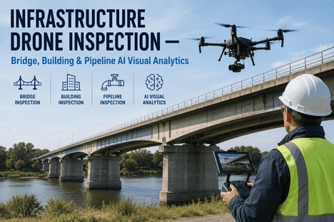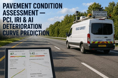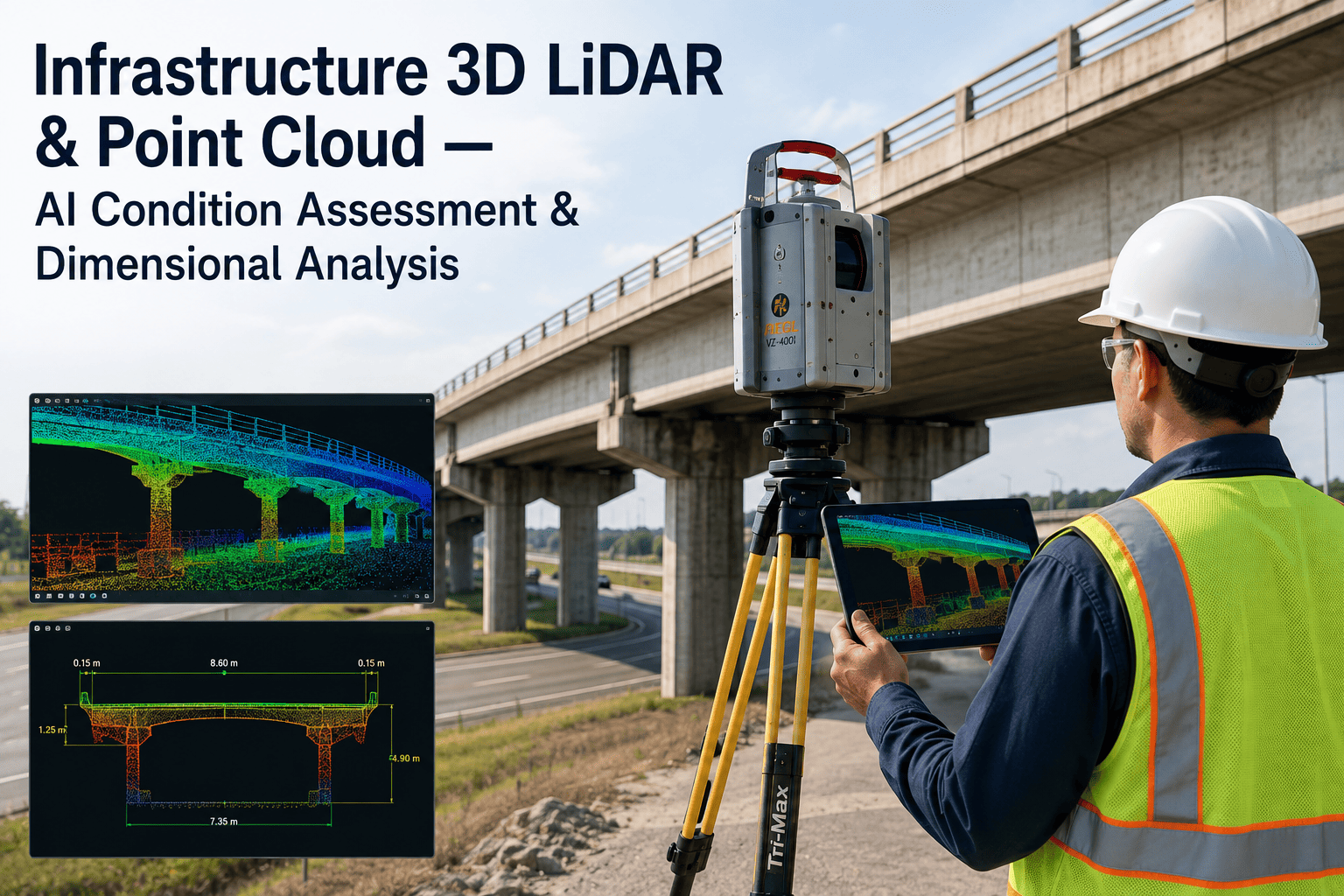
Most asset managers are working from drawings that stopped being true the moment the first renovation, retrofit, or repair happened on site. A bridge deck gets an overlay, a tunnel gets a utility reroute, a building gets a mechanical upgrade — and the as-built set in the archive never catches up. Field crews end up re-measuring the same structure by hand every time a capital project starts, and every manual measurement carries its own margin of error into the next design decision. 3D LiDAR point cloud scanning removes that guesswork by capturing the physical asset exactly as it stands today, down to millimeter-level detail, and AI turns that raw scan into a usable, searchable digital twin — Book a Demo to see it applied against one of your own structures.
Know Exactly What Your Infrastructure Looks Like Today — Not What the 1998 Drawings Say
iFactory AI turns LiDAR point cloud data from bridges, tunnels, buildings, and utility installations into AI-classified condition assessments and dimensionally accurate as-built models your asset team can actually trust.
How Far Off Is a Manual Measurement, Really?
Every survey method carries a margin of error, but the gap between them is larger than most capital planning teams assume. A tape-and-notebook field survey can drift tens of millimeters across a single span, which is more than enough to throw off a retrofit design or a load rating calculation. The chart below reflects typical measured accuracy across common survey and scanning methods for a mid-size structure assessment.
The narrower the deviation, the more a design team can trust the model without sending a crew back out to verify a single dimension by hand. AI-classified terrestrial LiDAR consistently delivers the tightest tolerance of any field-practical method available to asset teams today.
Matching the Scanner to the Asset
Not every structure calls for the same scanning hardware. A confined utility vault needs something very different from a two-mile roadway corridor. iFactory AI's field team specifies the scanning tier based on asset geometry, access constraints, and the dimensional tolerance the condition assessment actually requires.
Handheld Mobile Scanner
Terrestrial Static Scanner
Vehicle-Mounted LiDAR
UAV / Drone LiDAR
The Scan-to-Model AI Pipeline
Raw point cloud data is not a deliverable on its own — it is millions of unlabeled points until an AI pipeline turns it into something an asset manager can actually query and act on. iFactory AI structures that pipeline into five stages, from field capture through a finished, searchable as-built model.
Field Capture
The site is scanned with the appropriate LiDAR tier, generating a dense, georeferenced point cloud of the structure or corridor.
Registration & Alignment
Multiple scan positions are stitched into one continuous, coordinate-accurate point cloud referenced to survey control.
AI Feature Classification
Beams, girders, pipe runs, panels, and surfaces are automatically classified and separated from vegetation, debris, and noise.
Deviation Analysis
Classified geometry is compared against design drawings or a prior scan to flag dimensional deviation, settlement, or deformation.
As-Built Model Delivery
A dimensionally accurate 3D model is delivered into GIS or BIM, ready for condition scoring and capital planning workflows.
See a Real Point Cloud Turned Into a Condition-Scored As-Built Model
Bring one bridge, tunnel, or building to the session and our team will walk through the classification, deviation analysis, and digital twin output your asset program would receive.
Infrastructure Types Where Point Cloud Condition Assessment Pays Off
3D LiDAR condition assessment scales across nearly every physical asset class an infrastructure or facilities team is responsible for. The categories below cover the structures where dimensional accuracy and deviation tracking carry the highest capital planning value.
Bridges & Structures
Deck geometry, girder alignment, and clearance envelopes are captured and compared against load rating drawings to flag deformation early.
Tunnels & Underground Assets
Bore profile, lining condition, and clearance to fixed equipment are verified without the access delays a manual survey crew requires.
Buildings & Facilities
Facade condition, structural elements, and mechanical layouts are captured as a single reliable reference for renovation and retrofit design.
Utility Corridors & Substations
Clearance to overhead lines, equipment spacing, and encroachment risk are measured directly from the point cloud instead of estimated in the field.
Pipe Racks & Process Units
Pipe routing, support spacing, and interference clashes are extracted automatically, replacing manual as-built redlines with a verified model.
Roadways & Right-of-Way
Pavement geometry, drainage grades, and right-of-way boundaries are captured continuously along a corridor for planning and design review.
What AI Point Cloud Analysis Delivers for Asset Managers
Point cloud scanning alone only produces a static snapshot. The value for an asset management program comes from what AI classification and analysis do with that snapshot once it is captured.
Sub-Centimeter Dimensional Accuracy
Every measurement pulled from the model reflects the structure's true current geometry, not a decades-old drawing assumption.
Automated Defect & Deformation Detection
AI flags spalling, settlement, misalignment, and out-of-tolerance geometry without a technician manually reviewing every scan.
Design vs. As-Built Deviation Reports
Design drawings are overlaid on the point cloud automatically, producing a deviation report design teams can act on immediately.
Searchable 3D Digital Twin
The finished model is queryable by asset, component, or location, replacing static PDFs with a living record of the structure.
Direct GIS and BIM Integration
Classified geometry and condition data flow into the GIS or BIM platform already in use, without a separate parallel system to maintain.
Change Detection Over Time
Repeat scans are compared automatically, turning point cloud capture into a continuous monitoring program rather than a one-time survey.
From One-Time Survey to a Living Asset Record
Asset managers who move to LiDAR point cloud analysis are not just replacing a survey crew — they are building a permanent, verifiable record of every structure they are responsible for. A capital project that used to start with weeks of manual field verification now starts with a model that is already accurate, already classified, and already flagged for the deviations that matter most to the design team.
Over time, repeat scans turn a single condition assessment into a monitoring program. Settlement on a bridge pier, drift in a tunnel lining, or encroachment near a utility corridor gets caught as a measurable trend across scans rather than discovered during an inspection years later. That shift, from static drawings to a continuously verified digital twin, is what turns a scanning program from a one-off deliverable into a core part of how the asset management team plans capital work.
3D LiDAR & Point Cloud AI Condition Assessment — FAQs
What is point cloud AI and how does it improve condition assessment?
Point cloud AI applies machine learning to the millions of raw LiDAR points captured during a scan, automatically classifying structural elements, surfaces, and defects instead of requiring a technician to review the data point by point. This turns a raw scan into a structured condition assessment in a fraction of the time manual review would take. Book a Demo to see the classification applied to a real structure.
How accurate is 3D LiDAR scanning compared to traditional survey methods?
Terrestrial static LiDAR with AI classification typically achieves accuracy within a few millimeters, compared to tens of millimeters for a manual tape-and-notebook survey and roughly fifteen millimeters for drone photogrammetry. The exact tolerance depends on the scanner tier, site conditions, and the asset geometry being captured, which is why hardware selection matters as much as the scanning process itself.
Can point cloud data integrate with our existing GIS or BIM systems?
Yes — classified point cloud output and the resulting as-built models are delivered in formats that integrate directly with common GIS and BIM platforms, so the model becomes part of the asset management workflow the team already uses rather than a standalone file sitting outside it. Contact our expert to confirm compatibility with your specific platform.
Do we need to scan an entire facility, or can assessment start with a single structure?
A scanning program can start with a single bridge, tunnel, or building and expand from there once the value of the deviation report and digital twin is demonstrated on that first asset. Most asset management teams begin with the structure carrying the highest capital planning risk before scaling the program across a wider portfolio.
How is AI used to detect defects or deformation directly from a point cloud?
The AI pipeline compares classified geometry against design drawings or a previous scan of the same asset, flagging any area where the current point cloud deviates beyond a defined tolerance. This surfaces settlement, spalling, misalignment, or encroachment automatically instead of relying on a visual inspection to catch it. Book a Demo to see a deviation report generated from real scan data.
Turn Your Next Scan Into a Dimensionally Accurate Digital Twin, Not Just a Point Cloud File
Book a working session with iFactory AI. We review your scanning constraints, asset priorities, and GIS or BIM environment, and return a scoped plan for your first AI-classified condition assessment.